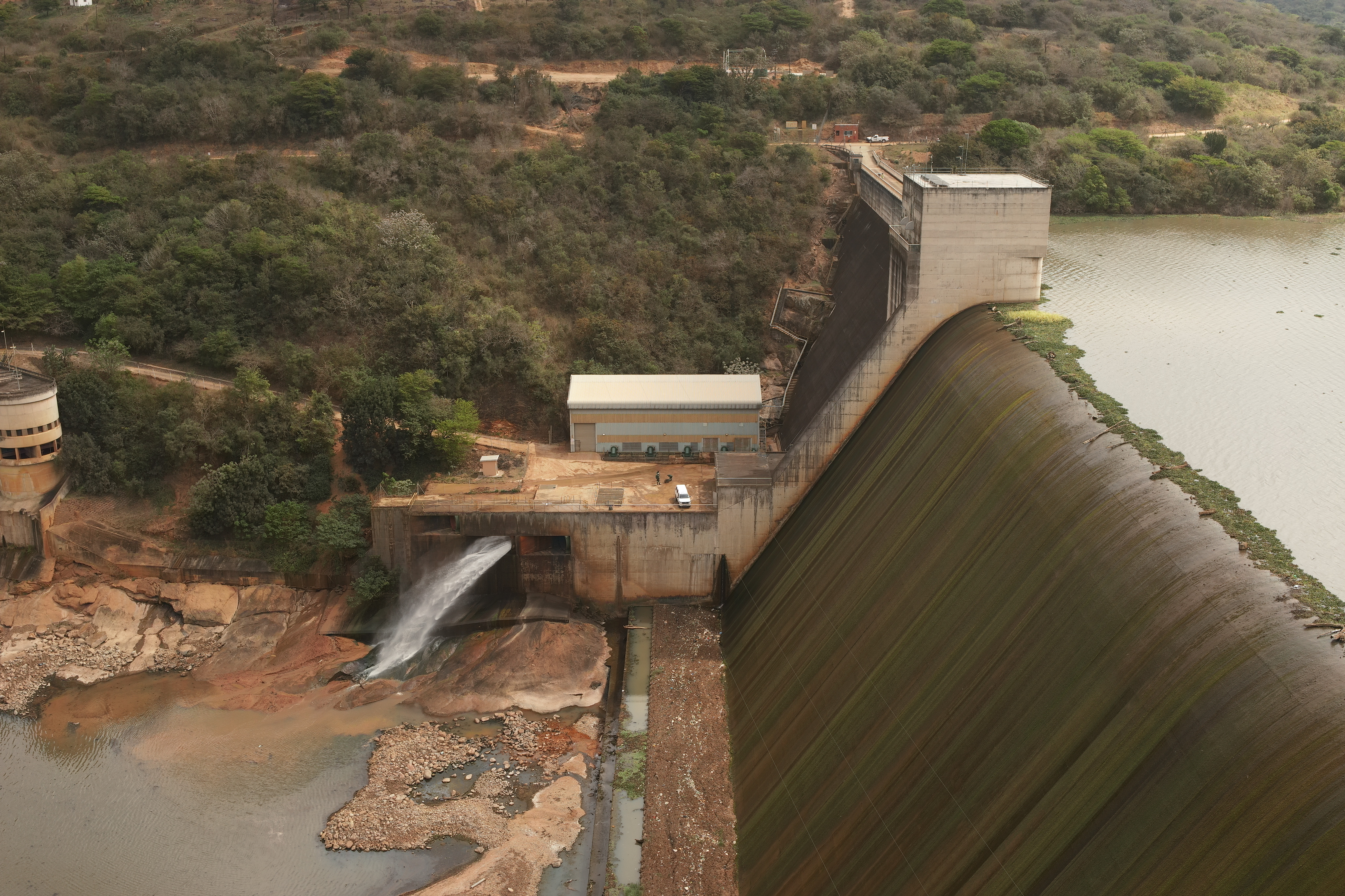
Jagersfontein Dam Collapse
The Jagersfontein Dam Collapse that occurred in 2022, was a structural failure of a mine tailings dam, located in the Free State, which resulted in a mudslide. The slide damaged 20 houses, and 9 houses were completely washed away. Multiple people were hospitalized, missing and 3 bodies were found under the mud. Fortunately, power was restored to the townspeople by the morning, and President Cyril Ramaphosa visited the town. However, on the 28th of September, more of the mudslide occurred and further collapse occurred.


Where we come in:
Delta Scan was called to assist with the search and rescue team at the dam. Our Delta Scan team heard of the collapse and brought in our drones right away to cover the largely afftected. We searched for survivors, bodies and calculated the damages caused by the mudslide. Our main tech is around analytics of digital data. Where we specialize in digitizing infrastructure using drones and laser scanners. This than creates a 3D model, which is called digital twins, out of the data set and we can analyze it through our computers. This was the method we used to analyze the different areas that were damaged or affected, where we duplicated the site into a 3D model. This reduced the dangers of being on site. We also created a digital record which allows us to look back on where problems could have gone wrong or still can go wrong. We than create a rehabilitation plan to prevent any further incidents occurring.