Overcoming Surveying Challenges Navah Crouse, Dec 4, 2023 Overcoming Surveying Challenges: Transforming Surveying, Delta Scan’s Solutions to Common Pain Points Surveying has long been an essential practice in various industries, from construction to environmental...
The Future of Surveying with a Hybrid AI Approach Navah Crouse, Dec 4, 2023 The surveying industry is standing at the threshold of a remarkable transformation. The surveying industry is standing at the threshold of a remarkable transformation. It is driven by the...
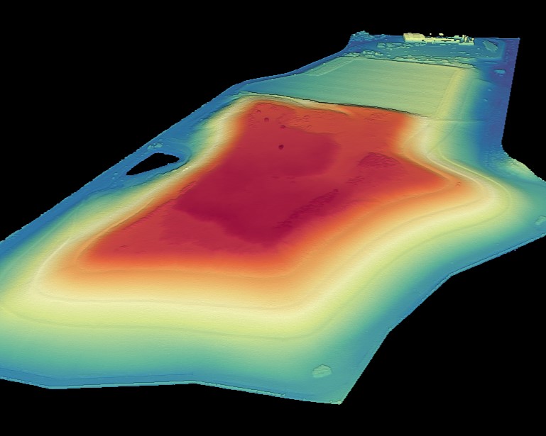
Volumetric Analysis: Calculating Earthworks Efficiently Navah Crouse, Nov 22, 2023 The Significance of Volumetric Calculations in Site Development Here we examine Counting the Cubes: The Significance of Volumetric Calculations in Site Development. Site development,...
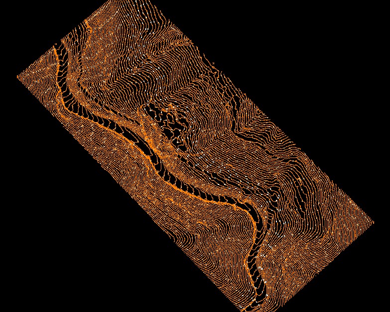
Contours: Navigating the Landscapes Navah Crouse, Nov 22, 2023 Sculpting the Landscape: The Significance of Contours: Navigating the Landscapes In the evolving realm of surveying and geospatial data collection, contour maps are indispensable tools. This offers a...
DTM and DEM: Elevating Survey Accuracy Navah Crouse, Nov 22, 2023 Unraveling the Power of DTM and DEM: Elevating Survey Accuracy in modern times In the realm of surveying, the power of digitization has given rise to new innovative tools and techniques. We have...