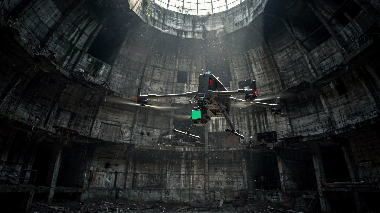
The physical world, rendered decision-ready.
Survey-grade reality capture and structural condition data you can act on, captured in days and reviewed and signed by a registered professional engineer.
Delta Scan is a South African engineering reality-capture and inspection company. We scan, survey and inspect mines, plants, buildings and infrastructure with LiDAR, drone, ground-penetrating radar and 3D scanning, and turn the data into signed engineering deliverables: scan-to-BIM models, structural condition audits, topographic and volumetric surveys, and subsurface utility mapping, each reviewed by a registered Professional Engineer (ECSA). Headquartered in Johannesburg, working across South Africa, Southern Africa and the Middle East, for asset owners directly and for engineering firms under their own authority.















[01] · Who we are
A professional engineering company building the inspection tools we wished existed.
Founded by professional engineers tired of inspection data that was too slow, too thin, or too generic to act on with confidence.
We combine calibrated capture hardware, a global partner network, an in-house engineering and architectural team, and proprietary software for problems off-the-shelf tools do not solve. When we are the engineer of record, every report is signed by a registered Pr Eng. We also work behind the scenes for other engineering firms, who sign their own deliverable.

Engineer of record,
or your capture team.
Some clients need a complete, signed deliverable. Others are engineering firms who need the capture and tooling underneath. We do both.
We are your engineer of record.
You need a complete engineering deliverable you can act on and submit. We run it end to end, and every report, audit, model, and survey is reviewed and signed by a registered Pr Eng.
See what we do You are an engineering firmWe are your capture and technology team.
You hold the authority and the client. We deliver LiDAR, GPR, survey, and scan-to-BIM under your authority, in your formats, behind the scenes. You sign. Your client stays your client.
For engineering firmsThree core areas.
One engineering standard.
Three core areas of digital-driven engineering, each led by registered engineers and surveyors, backed by in-house tooling and 100+ capture partners worldwide.
Digitisation & Scan to BIM
Precision modelling from the real world.
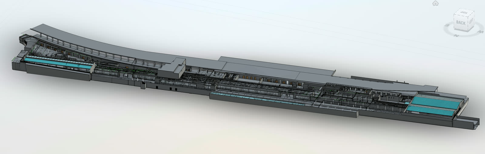
UAV photogrammetry, terrestrial LiDAR, and SLAM mobile mapping capture complete spatial data, converted into referenced CAD and BIM models in Revit and AutoCAD. In-house architectural team for council submissions.
Structural Condition Audits
Safer. Faster. Engineering grade.
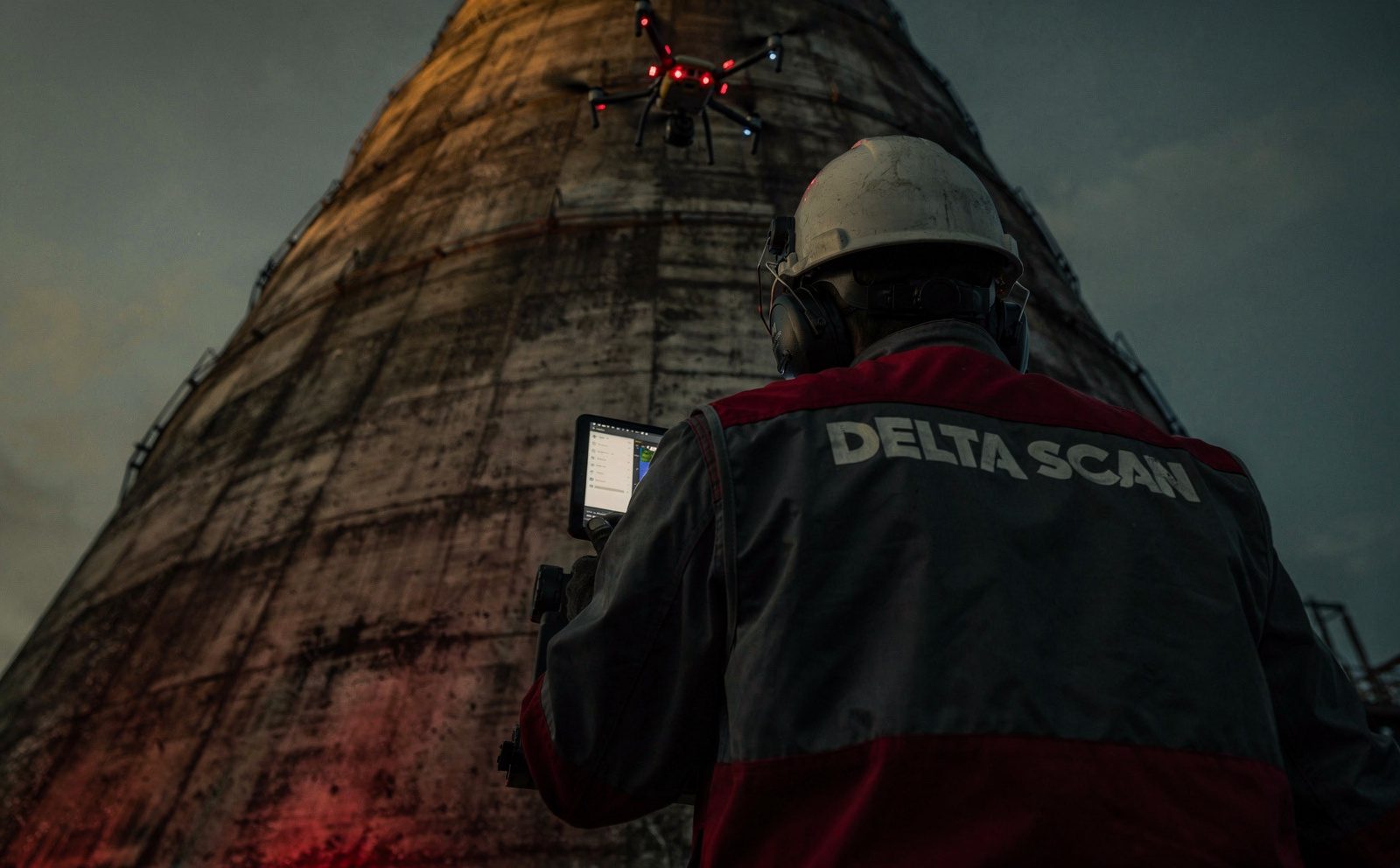
UAVs, advanced cameras, and AI defect detection inspect structures in a fraction of the conventional time. You get a data-driven audit with repair methodology, material quantification, and compliance reporting.
GIS & Topographic Mapping
Precision from above. Intelligence at ground level.
100+ data-collection partners worldwide. Multirotor UAVs for smaller sites, fixed-wing for large areas, RTK and PPK to cut ground control. All surveys signed off by registered surveyors.
When no tool exists,
we build one.
Proprietary software we build for problems commercial tools do not solve. Four client-driven examples, all delivered through DeltaCloud.

DeltaCloud
CORE PLATFORMThe secure, versioned environment underpinning every Delta Scan engagement. Role-based access, full audit trail, long-term integrity.
How DeltaCloud delivers →
Shaft Analyser
BUILT FOR MININGOriginally developed during a gold-mining shaft inspection where no commercial tool handled SLAM drift correction at depth. Now deployed across operational shafts.
See the case study →
RoadAI
BUILT FOR INFRASTRUCTUREDeveloped for a provincial road network audit requiring automated defect detection from dashcam footage. AI-based, GPS-accurate, TMH9 and ASTM compliant.
See the case study →
Omnispect
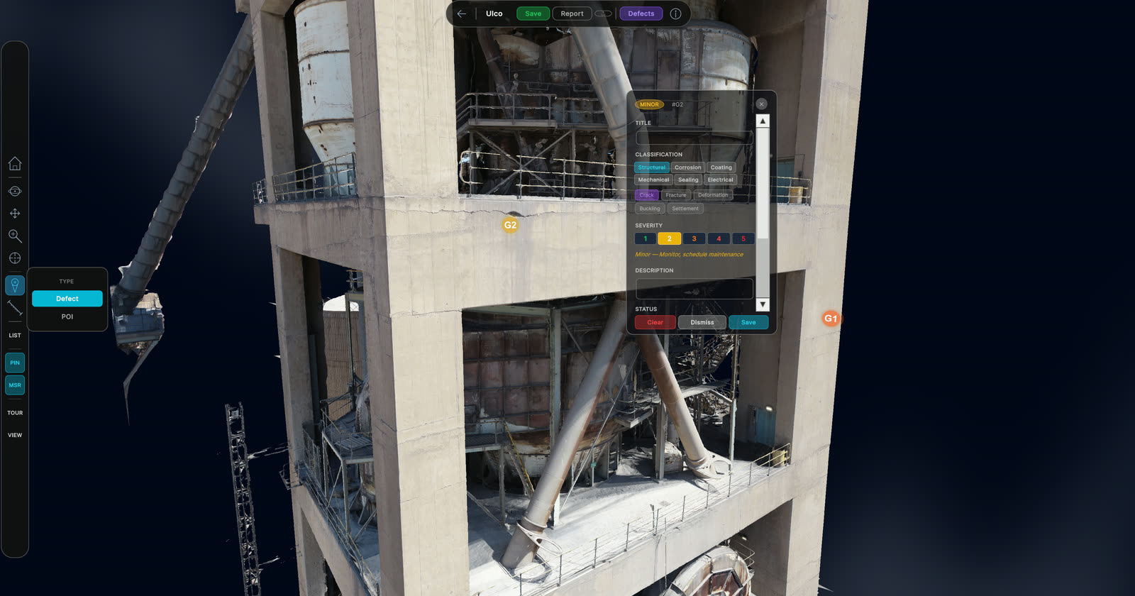
BUILT FOR INSPECTIONDeveloped for 360° video inspection of confined-space and linear assets. Bounding polygons, leader lines, structured severity workflow.
See the case study →Have a problem commercial tools do not solve? We build bespoke capability on client engagements.
See all capability →Direct answers
to specific questions.
Focused service pages, each one a single question answered. Find what you need and request a quote tied to the actual service.
Structural Condition Audits
Engineering-grade assessments of bridges, towers, silos, and industrial structures. Pr Eng signed.
Explore the service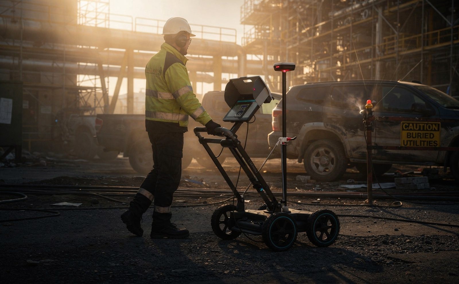
Ground Penetrating Radar
Subsurface utility location and concrete scanning. Proceq GS8000 and GP8000 operated by certified surveyors.
Explore the service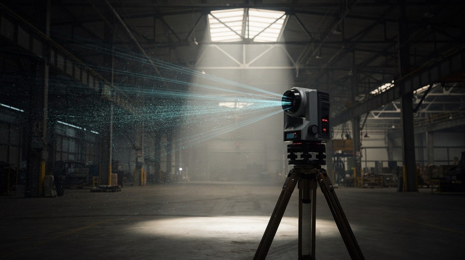
3D Laser Scanning & Reality Capture
Survey-grade point clouds of plant, structures, and sites. Terrestrial, mobile SLAM, and aerial LiDAR, delivered as measurable models.
Explore the serviceConcrete Scanning & Rebar Detection
Locate rebar, post-tension cables, conduits, and voids before cutting or coring. Non-destructive GPR, no damage.
Explore the serviceNon-Destructive Testing (NDT)
Thermography, drone and remote visual, GPR, and ultrasonic thickness gauging. Condition and integrity without shutdown.
Explore the service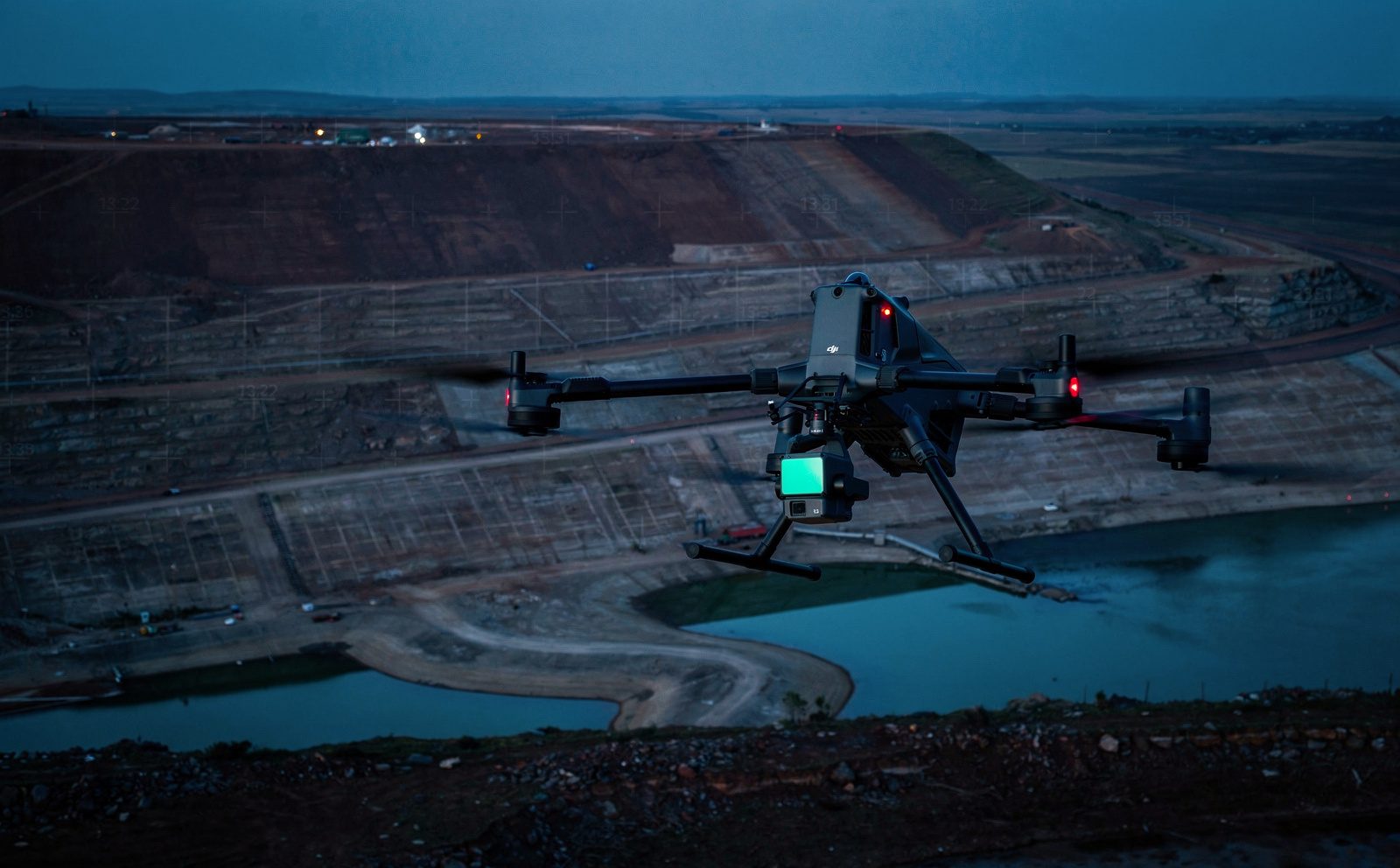
Tailings Dam Inspection
GISTM-aligned photogrammetric monitoring of TSF walls, beaches, and freeboard. Post-incident response capability.
Explore the service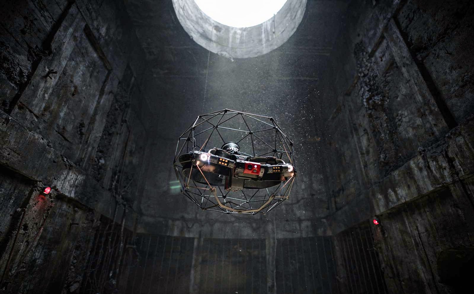
Mine Shaft Inspection
SLAM-based 3D inspection of vertical and inclined shafts. No production downtime. Shaft Analyser drift correction.
Explore the service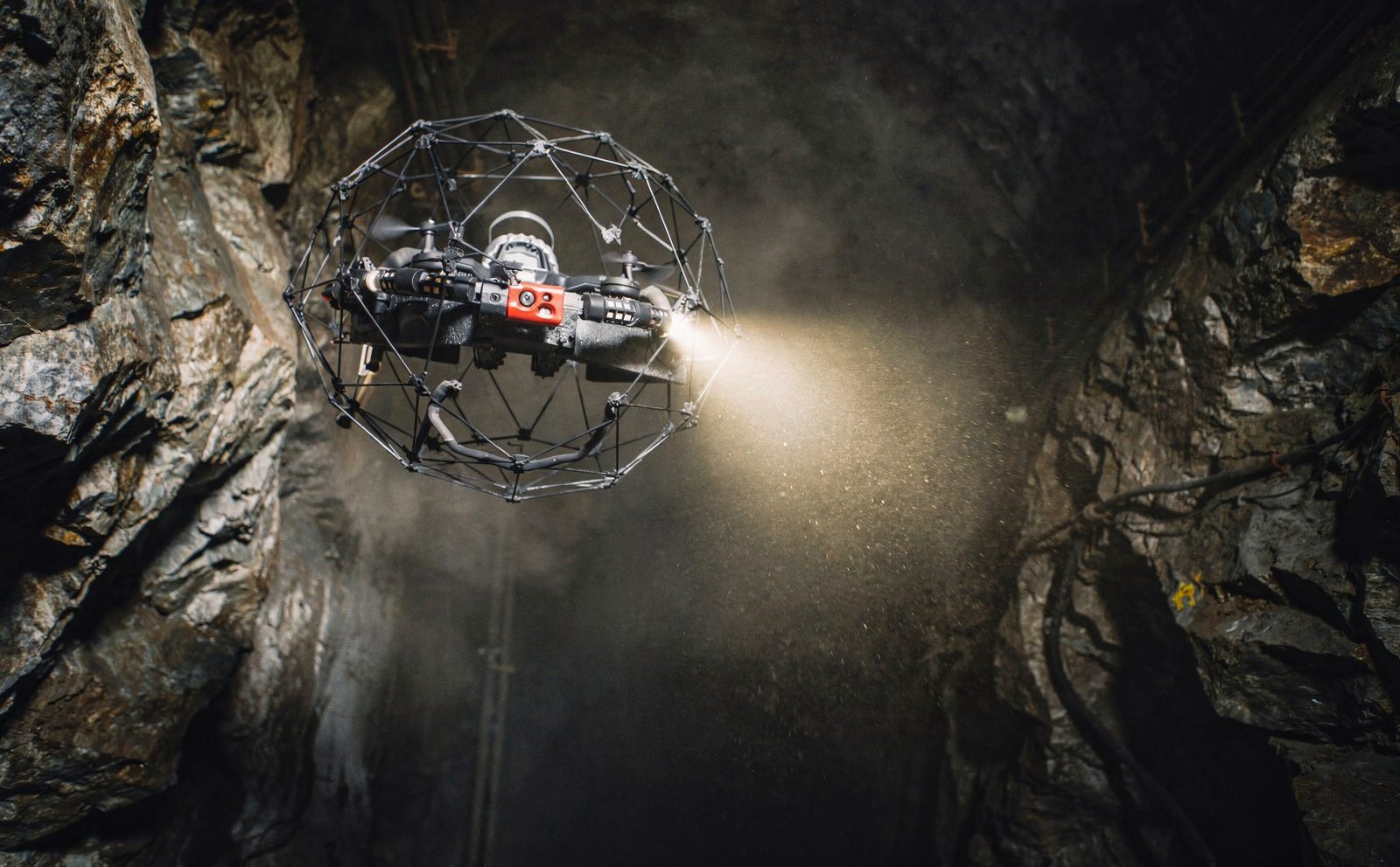
Ore Pass Inspection
3D inspection of mine ore passes. Wear profiling, hang-up risk evaluation, design verification.
Explore the serviceBuilt for asset-intensive sectors.
Each industry practice is led by engineers with direct operational experience. We do not translate capability across sectors. We build it into each one.
Mining
Shaft inspection, headgear condition, tailings monitoring, stockpile volumetrics, and as-built documentation for underground and surface operations.
Energy
Power station inspection, cooling tower and boiler condition assessment, storage tank inspection, refinery audits, and renewable site planning · with confined-space capability that avoids scaffolding and downtime.
Oil & Gas
Offshore platform, rig, and FPSO inspection · topsides as-built capture, confined-space tank and ballast inspection, flare and structural survey, and brownfield modification modelling.
Infrastructure
Bridge inspection, road network audit, rail corridor survey, water infrastructure, and municipal documentation. Aligned to TMH9, SANS, and EN standards.
Raw capture is not a deliverable.
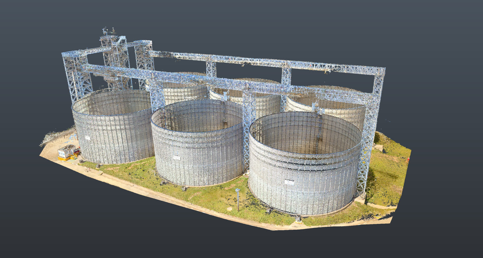
Millions of unstructured points are only worth something once they are registered, measured, and put in front of an engineer prepared to put their name on the result.
- 01 Raw capture
- 02 Registered cloud
- 03 Measured drawing
- 04 Signed deliverable
We show the work.
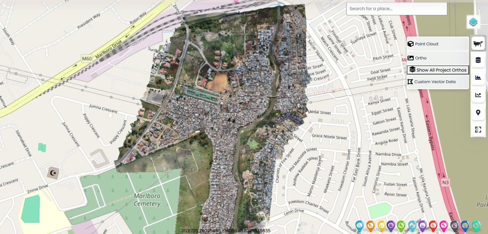
Reality capture is only useful if it is measurable. Point clouds, digital twins, orthomosaics and BIM models, each tied to control and reviewed by a registered Pr Eng.
Evidence, not promises.
A sample of recent projects where our software and services materially shifted the outcome for the client.
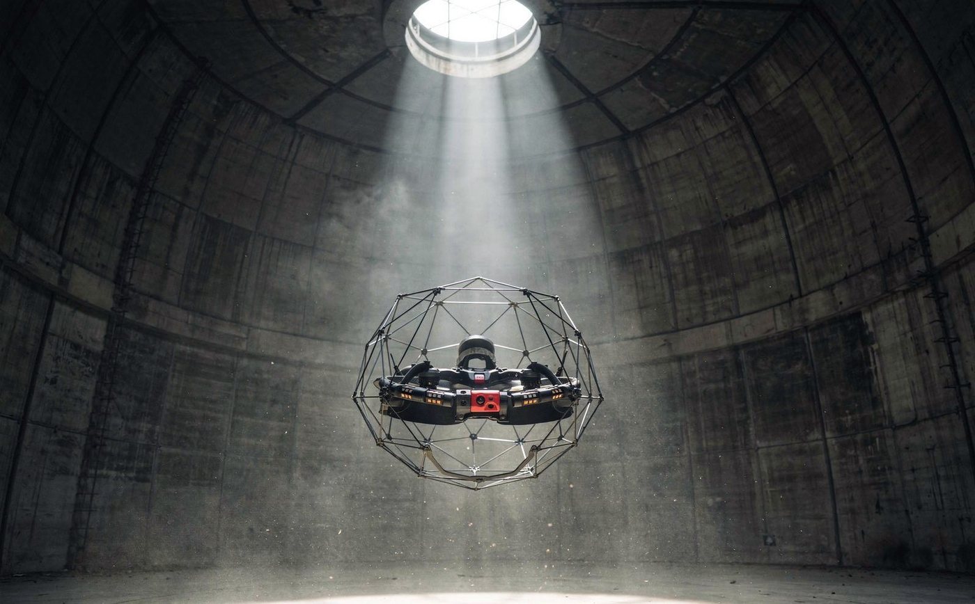
ELIOS 3 confined-space inspection restores 1,600MW of generating capacity.
After a flue gas duct collapse took Kusile Units 1, 2, and 3 offline, Delta Scan ran 15 weekly inspections at 150m, zero personnel in the structure.
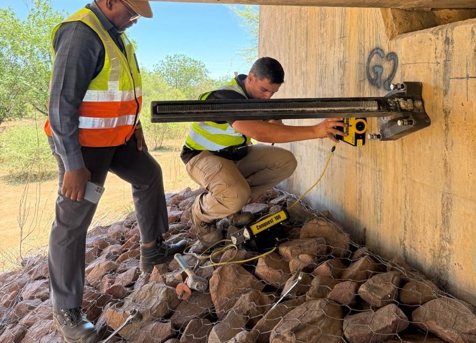
Same-day bridge condition assessment with LOD 300 BIM delivery.
Tailings dam disaster response with 3D digital twin.
Full project archive with filters by sector, service, and region.
See all projects →Outcomes, not adjectives.
Selected engagement outcomes, each signed by a registered Pr Eng where Delta Scan was the engineer of record. Named references available under NDA.
Confined-space duct inspection at Kusile Power Station completed in a 6-day scope-to-signed-audit window, restoring roughly 1,600 MW of generating capacity · no scaffolding, no extended outage.
Within the same week of the Jagersfontein tailings failure, a photogrammetric 3D digital twin let engineers interrogate the site from the office while ground access was still hazardous. The forensic record supported regulatory submission.
Same-day bridge condition assessment on a 60-metre span delivered as a LOD 300 BIM model with a defensible defect register · an engineering audit, not a photograph book.
What sets Delta Scan apart is their impressive array of equipment and drones, with the Elios 3 being a standout performer.
Delta Scan provided exceptional service in processing my large image photogrammetry data. The MD, an experienced Structural Engineer, demonstrated profound expertise in Surveying, Engineering, GIS, and photogrammetry.
They excel in precision scanning with cutting-edge technology. Their efficient and friendly service ensures a top-tier experience for clients. A reliable choice for excellence in scanning solutions.
Project outcomes are from named engagements. The reviews above are real, verified, public Google reviews. Named project references available under NDA on commercial enquiry.
Global inspection capability.
Local engineering accountability.
Delta Scan combines field robotics, LiDAR, photogrammetry, 3D modelling and engineering analysis to support high-consequence assets across mining, energy, industrial and civil infrastructure.
international delivery
Africa, Middle East, Europe, N. America
mining, energy, infrastructure, insurance
aerial, terrestrial, confined-space
Full engineering review and registered Pr Eng sign-off on every deliverable where Delta Scan is the engineer of record.
- Johannesburg HQ
- Delivered projects
- Strategic regions
Field notes from the team.
Research, technical write-ups, and commentary from our engineers on what is actually changing in digital inspection and 3D capture.
GPR vs excavation: locating buried services before you dig.
Trial holes prove a point. Ground penetrating radar scans a corridor. How the two compare for locating buried services, and where each one fails.
Manual shaft inspection vs shaft scanning on South African mines.
The conventional manual shaft inspection versus a purpose-built shaft scanner, compared on cost, safety and coverage.
What a structural condition audit report should actually contain.
A folder of photographs is not an engineering deliverable. What the report must contain, and why the Pr Eng signature matters.
Speak with an engineer, not a salesperson.
Lethabong 2090, Johannesburg