





Specialised Service

3D Laser Scanning and Reality Capture in South Africa

Survey-grade point clouds of plants, structures, and sites. Terrestrial, mobile SLAM, and aerial LiDAR capture, registered and delivered as measurable models, meshes, and BIM-ready geometry.

Trusted by
Sasol Eskom Impala Platinum Sibanye-Stillwater Afrimat Growthpoint Concor Stefanutti Stocks Zutari Infrastructure South Africa
In short

3D laser scanning, or reality capture, records an asset as a dense, measurable point cloud. Delta Scan uses terrestrial, mobile SLAM, and aerial LiDAR to capture plant, structures, and sites, delivering as-built models, meshes, and BIM-ready geometry tied to a real survey datum.

3D laser scanning, also called reality capture, records the exact geometry of a physical asset as a dense cloud of millions of measured points. Each point carries a real coordinate, so the resulting point cloud is not a picture of the asset, it is a measurable digital copy of it. Anyone with the data can take a dimension, cut a section, or check a clearance long after the team has left site.

Delta Scan captures reality across three platforms and merges them into one coordinated dataset: terrestrial and mobile SLAM scanners for interiors, plant, and structures; aerial LiDAR and photogrammetry for sites, roofs, and corridors; and RTK GNSS control to tie everything to a real survey datum. The output feeds whatever you need next, a scan to BIM model, a digital twin, a clash-detection coordination model, or an as-built record set, all delivered through DeltaCloud.
When to use it

Typical engagements.

Each scenario below represents a real-world trigger for this service. If your situation matches one of these, get in touch.

As-built documentation

Drawings rarely match what was actually built, and decades of modifications are seldom recorded. A laser scan captures the true current state of a building or plant to within a few millimetres, replacing guesswork and tape measures with a verified as-built record.

Brownfield retrofit and tie-ins

New equipment, pipe runs, and steelwork must fit into existing congested plant. Scanning the existing conditions first lets engineers design against reality, so fabricated assemblies fit on the first attempt and expensive site rework is avoided.

BIM coordination and clash detection

A registered point cloud lets new design models be checked against existing structure for clashes before anything is fabricated or installed. This is one of the most effective uses of reality capture for reducing construction risk.

Heritage, deformation, and dispute records

Non-contact capture documents fragile heritage fabric without touching it, and repeat scans over time quantify movement, settlement, or deformation. A dated scan is also an objective record for insurance and contractual disputes.

How it works

Our process.

A repeatable five-stage workflow. The same disciplined sequence runs whether the site is a 500-hectare mining operation or a single 60-metre bridge.

01

Scoping and control

We agree the level of detail and accuracy the deliverable requires, the coordinate system, and the areas in scope. Where survey-grade georeferencing is needed, ground control is established with RTK GNSS or tied to existing site control.

02

Multi-platform capture

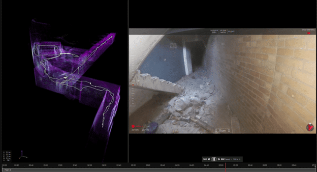
The right tool is matched to the asset: mobile SLAM scanners walk through interiors and plant at speed, static scanning is used where the highest precision is required, and drones capture roofs, facades, and wide sites. Capture is non-contact and rarely needs a shutdown.

03

Registration and georeferencing

The individual scans are registered into a single unified point cloud and tied to the project datum. Registration quality is checked against control so the dataset is internally consistent and dimensionally trustworthy.

04

Quality assurance

The registered cloud is checked for coverage gaps, noise, and accuracy against control points. The achieved accuracy is measured and stated, rather than assumed, so you know exactly what the data can and cannot be used for.

05

Deliverable and handover

You receive the registered point cloud and whatever downstream products were scoped, meshes, a scan to BIM model, sections, or a navigable digital twin, all version-controlled in DeltaCloud with a short accuracy and methodology note.

Request a laser scanning quote Explore scan to BIM
Equipment

What we use.

Calibrated, sector-matched hardware combined with proprietary software. The capture stack is selected for the asset, not the other way around.

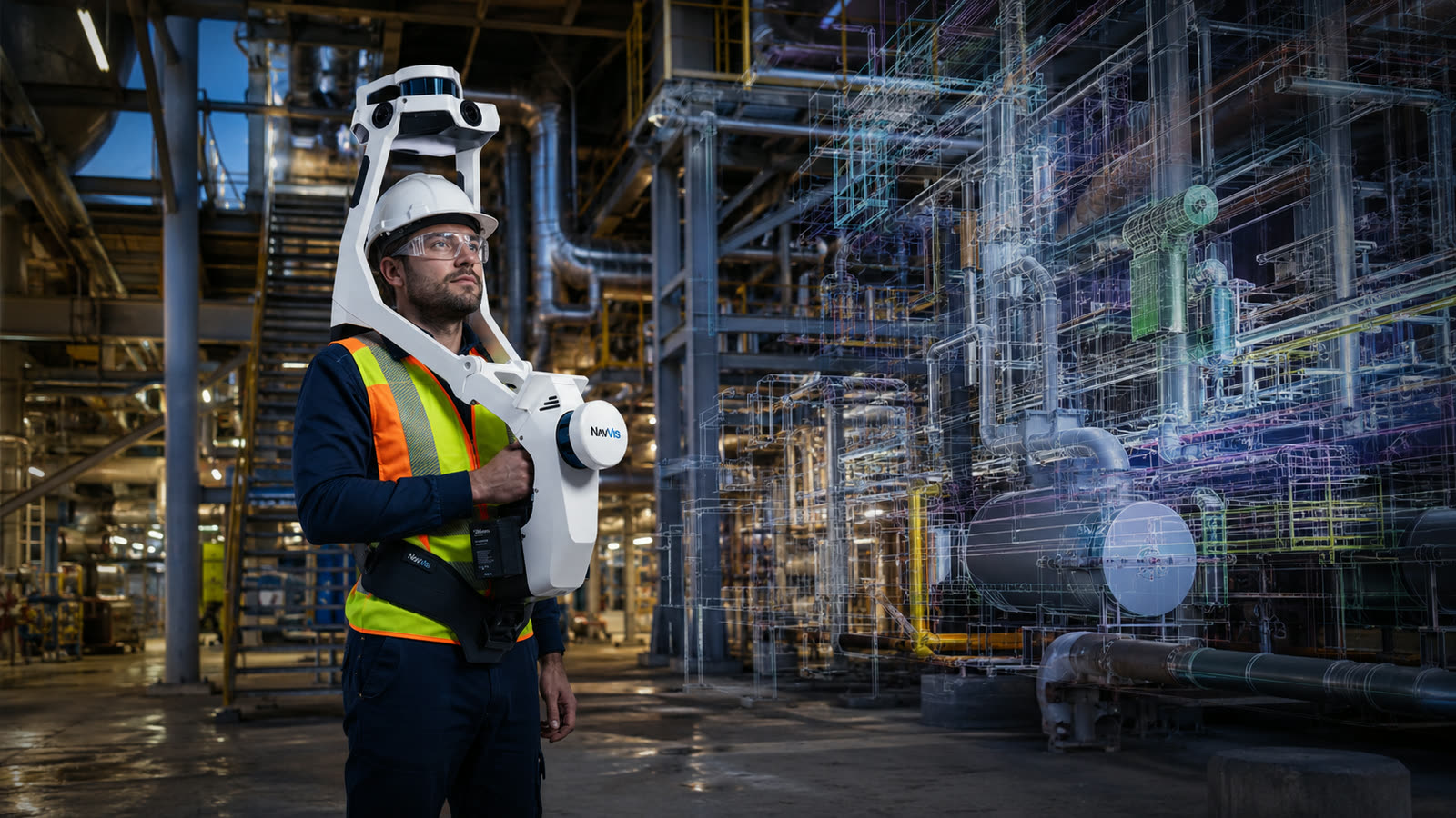
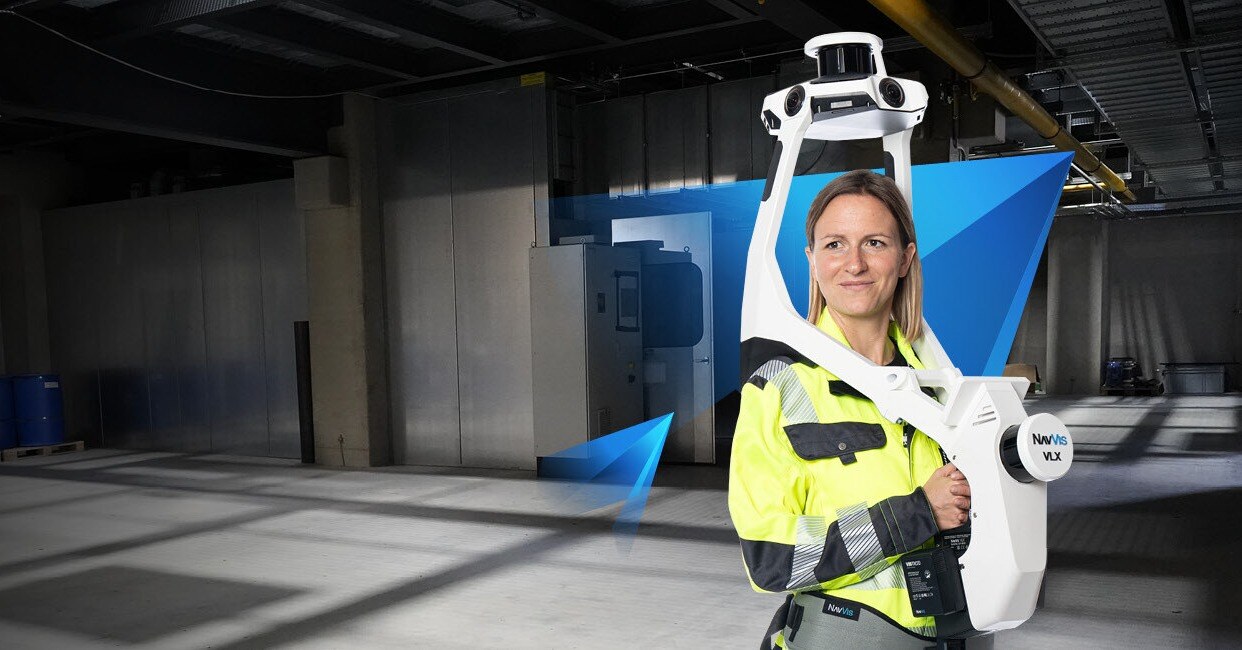
NavVis VLX 3

NavVis VLX 3

Wearable mobile SLAM scanner for fast, high-density capture of interiors, plant, and structures

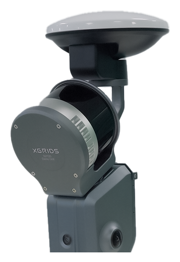
XGRIDS Lixel L2

XGRIDS Lixel L2

Handheld LiDAR scanner combining SLAM point clouds with photoreal colour for rapid reality capture

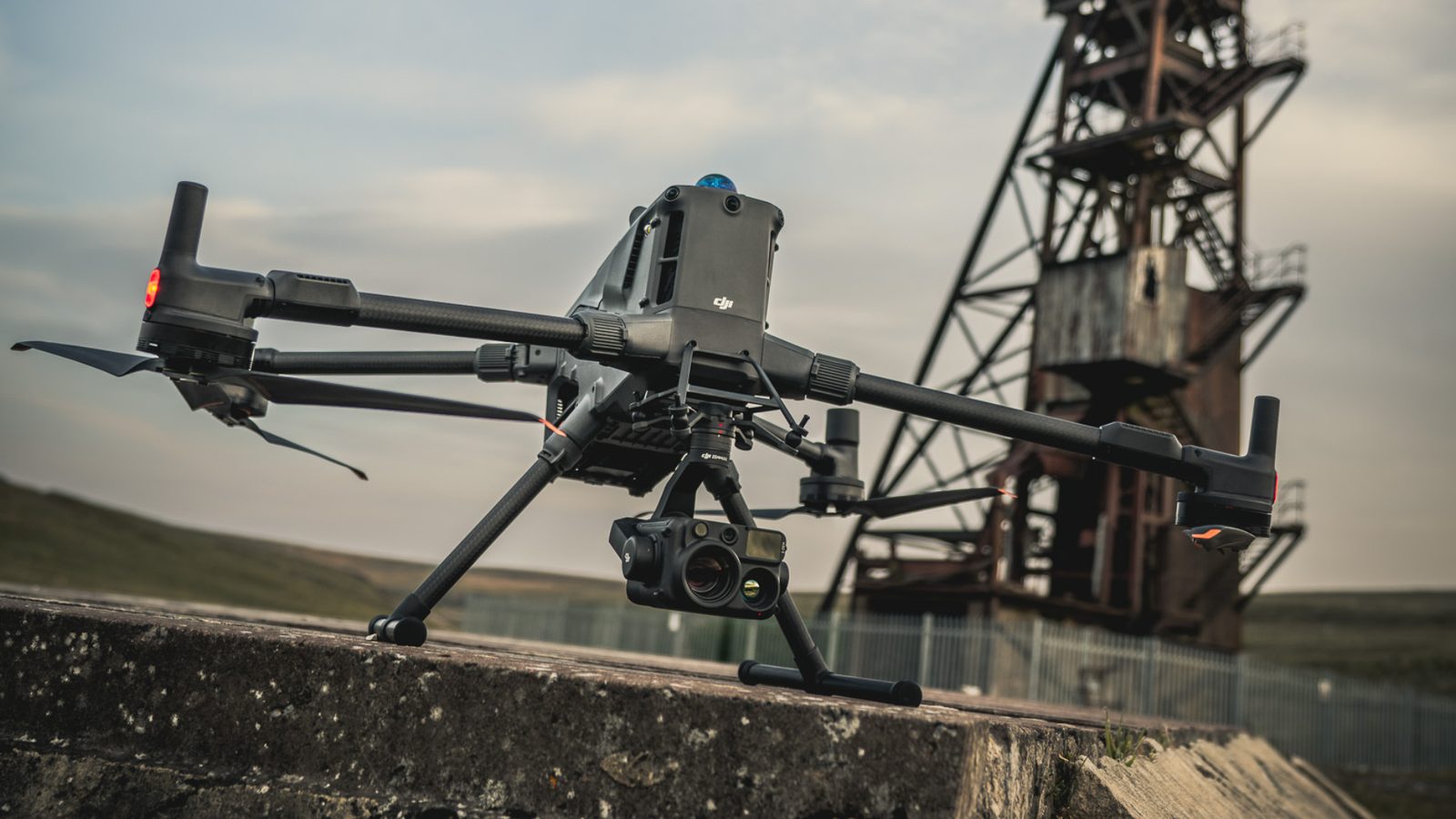
DJI Matrice 400

DJI Matrice 400

Aerial platform for LiDAR and photogrammetric capture of roofs, facades, sites, and corridors

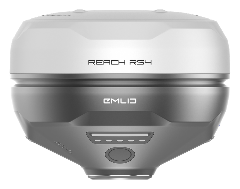
Emlid RS4

Emlid RS4

RTK GNSS receiver for ground control and survey-grade georeferencing of every dataset

Sectors

Where this fits.

The same engineering discipline applies across Mining, Energy, Infrastructure, Industrial and Process. The detail changes with the asset class and the operational context.

Mining

Process plants, headgear and conveyor structures, workshops, and excavations captured for as-builts, retrofits, and volumes

Energy

Power station halls, boiler and turbine houses, switchyards, and balance-of-plant captured for outage planning and tie-ins

Infrastructure

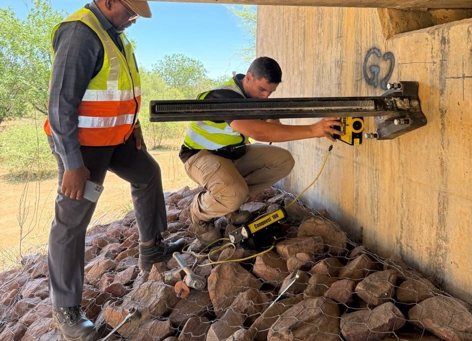
Bridges, stations, reservoirs, and buildings recorded as measurable as-built models for rehabilitation and BIM

Industrial and Process

Refineries, factories, and water treatment works scanned for brownfield engineering, clash detection, and asset records

FAQ

Frequent questions.

Direct answers to the questions clients ask most often before engaging.

What is the difference between laser scanning and a drone survey?

They are complementary forms of reality capture. Laser scanning, including mobile SLAM and static scanning, excels at detailed geometry of structures, interiors, and plant. A drone survey captures sites, terrain, and surfaces from the air. On most projects we combine both and merge them into one coordinated dataset.

How accurate is 3D laser scanning?

It depends on the platform and the control. Static scanning achieves millimetre-level precision, mobile SLAM is typically in the low centimetres, and aerial capture depends on ground control density. Rather than quote a single figure, we scope the accuracy the deliverable needs and then measure and state the accuracy actually achieved against control.

What deliverables do I receive?

The registered point cloud in standard formats such as LAS, LAZ, RCP, or E57, and whatever downstream products were scoped: a scan to BIM model in Revit or IFC, meshes, 2D sections and elevations, or a navigable digital twin. The exact formats are confirmed at scoping.

Do you need to shut down our plant to scan it?

In most cases no. Capture is non-contact and the scanners are mobile, so live plant can usually be scanned around normal operations under the site safety protocols. Confined or hazardous areas are handled with the appropriate access method, including drones where human entry is unsafe.

Can you work in our coordinate system?

Yes. We establish ground control with RTK GNSS or tie to your existing site control and deliver the data in your project datum and coordinate system, so it drops straight into your existing drawings and models.

How large an area can you capture?

From a single room to an entire plant or site. Mobile SLAM makes large interiors and process areas fast to capture, and aerial platforms cover wide outdoor sites efficiently. We scope capture time to the area, the level of detail, and the access conditions.

Can engineering firms commission scanning on a white-label basis?

Yes. We act as the reality-capture engine behind engineering and survey firms, delivering the registered data or model under your authority while you retain the client relationship and the professional sign-off. This is a core part of how we work.

Related services

If this fits, these often do too.

Engineering programmes rarely run on a single service. These adjacent capabilities most often pair with the work above.

Accuracy & standards

Built to be signed, not just shared.

Pr EngECSA 202001436

Every engineering deliverable is reviewed and signed by Darryl Epstein, a registered Professional Engineer (Pr Eng, ECSA 202001436).

SAGIsurvey

Geospatial deliverables carry registered land-surveyor sign-off where accuracy must be certified.

Classstated

Every deliverable carries a stated survey accuracy class or BIM level of development (LOD), reported per engagement against check-point analysis.

Standardscited

Findings cross-referenced to the applicable codes (SANS, TMH, EN), with accuracy statements on every report.

Start here

Request a laser scanning quote

Send the brief and our engineering team will review your enquiry and reply within one business day. Prefer to talk first? Call or WhatsApp us below.

Response within 1 business day · Pr Eng or SAGI signed

Start a project Call