








Tailings storage facility inspection monitors dam walls, beaches, and freeboard for deformation and instability. Delta Scan uses drone photogrammetry and LiDAR to produce GISTM-aligned surfaces and digital twins, tracking movement over time and supporting rapid post-incident response without putting people on the wall.
Tailings storage facilities are the largest and most consequential structures most mining operations own. They are also among the least frequently inspected at engineering depth. The catastrophic failures at Brumadinho (2019), Jagersfontein (2022), and earlier at Mount Polley and Samarco have moved tailings monitoring from a regulatory afterthought to a standing board-level concern.
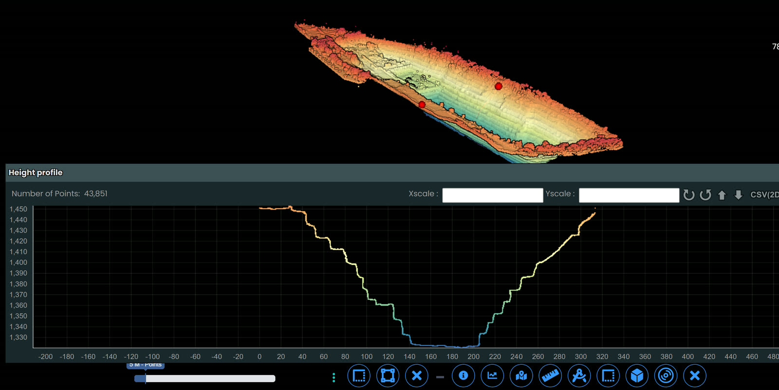
Delta Scan operates a tailings monitoring practice aligned to the Global Industry Standard on Tailings Management (GISTM). We deliver scheduled drone photogrammetric surveys with quantitative change detection between epochs, freeboard measurement, beach profiling, deformation tracking on dam walls and toe areas, and rapid response capability for post-incident assessment. Outputs feed directly into the operator's Engineer of Record review cycle and inform Operations Maintenance and Surveillance (OMS) decisions.