






Technology

The capture stack
behind every engagement.

Calibrated, sector-matched hardware combined with proprietary software. Equipment is selected for the asset, not the other way around.

Trusted by
Sasol Eskom Impala Platinum Sibanye-Stillwater Afrimat Growthpoint Concor Stefanutti Stocks Zutari Infrastructure South Africa
Equipment

Hardware
we operate.

From wearable mobile mapping to fixed-wing UAVs covering 500+ hectares per flight, the Delta Scan capture stack is one of the most complete commercially operated in Southern Africa. Six core platforms shown below; each is calibrated, regularly serviced, and matched to the asset class on every engagement.

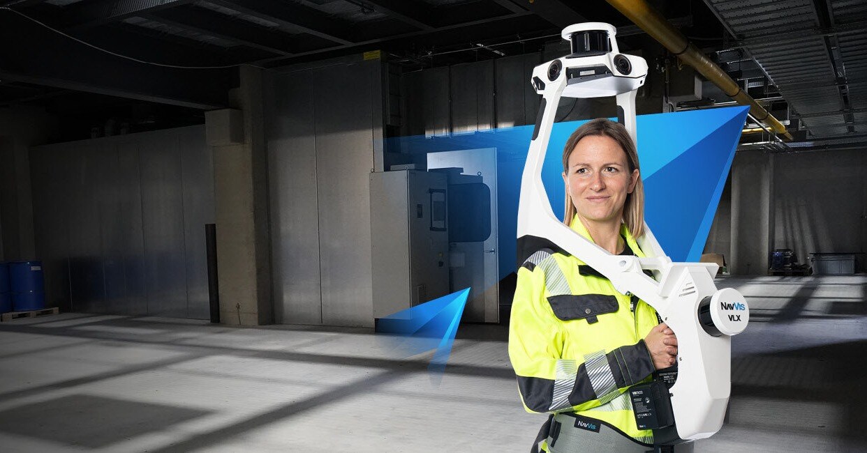
NavVis VLX 3 wearable mobile mapping LiDAR
Mobile Mapping

NavVis VLX 3

Wearable mobile LiDAR for indoor and outdoor capture at walking pace.

Accuracy6mm range
Throughput50,000 m² per day
Best forIndoor · SLAM
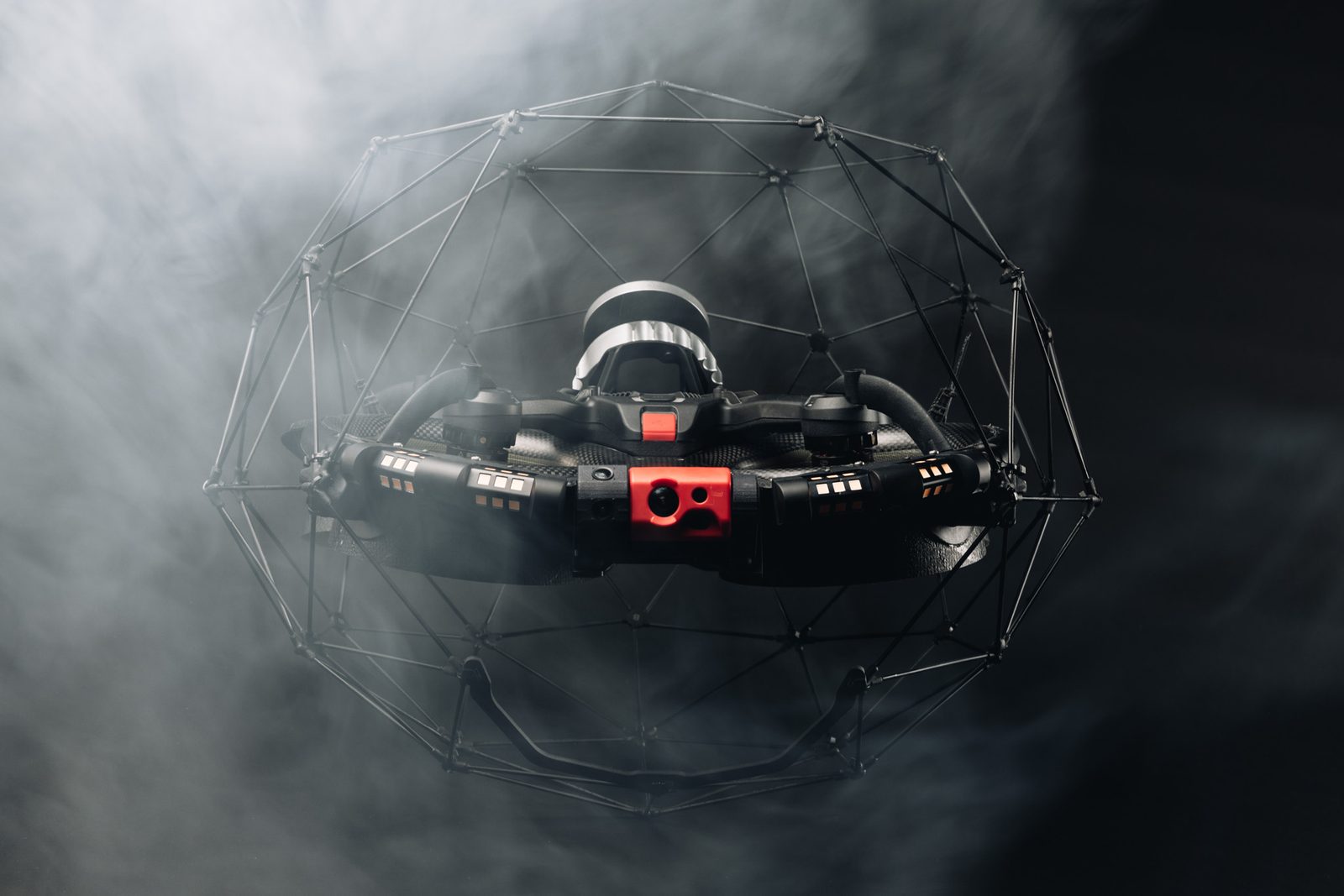
Flyability ELIOS 3 caged inspection drone
Confined Space

Flyability ELIOS 3

Collision-tolerant caged drone with integrated LiDAR for GPS-denied environments.

SensorOuster OS0-32
EnvironmentGPS-denied
Best forShafts · Tanks · Flues
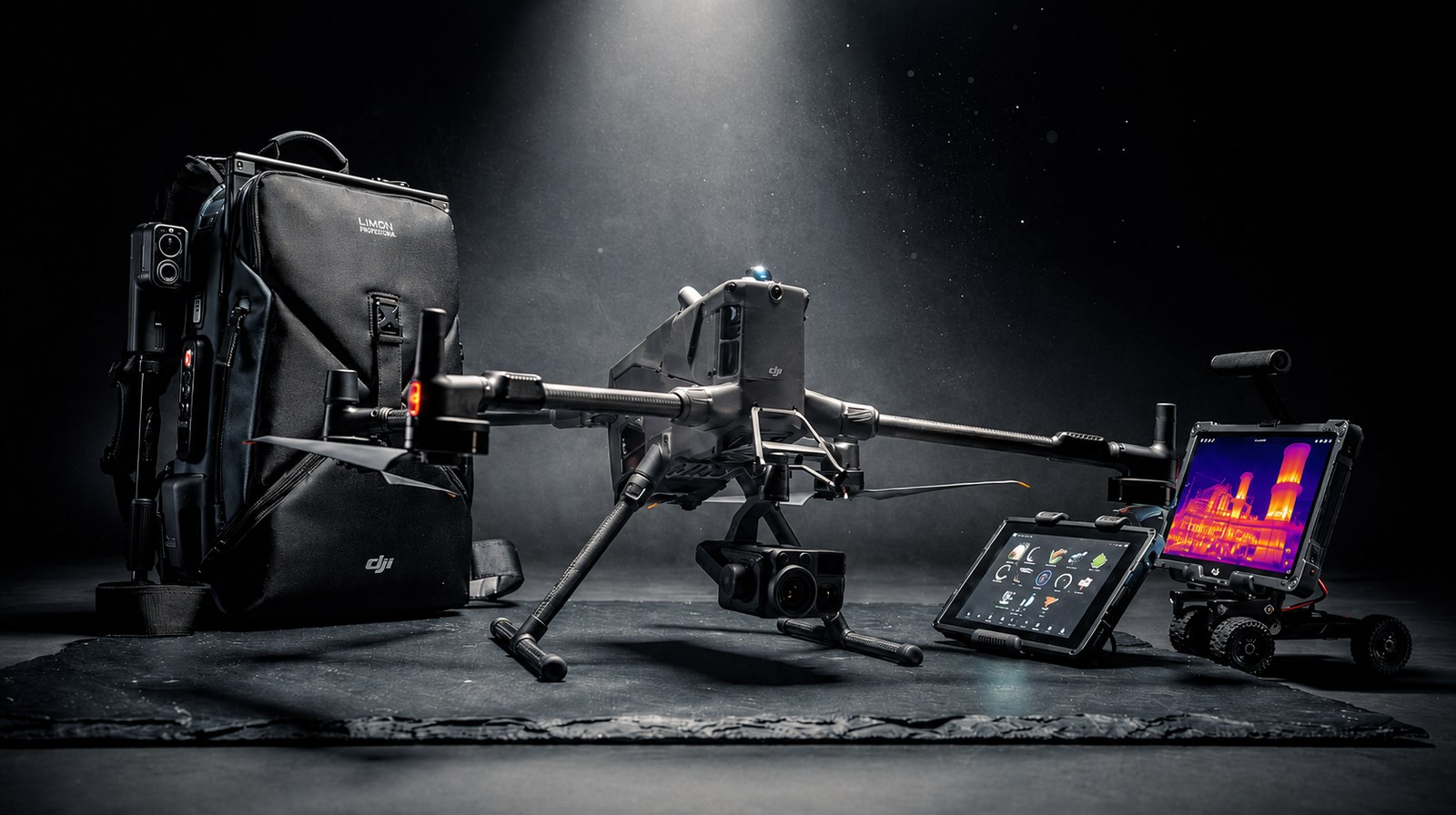
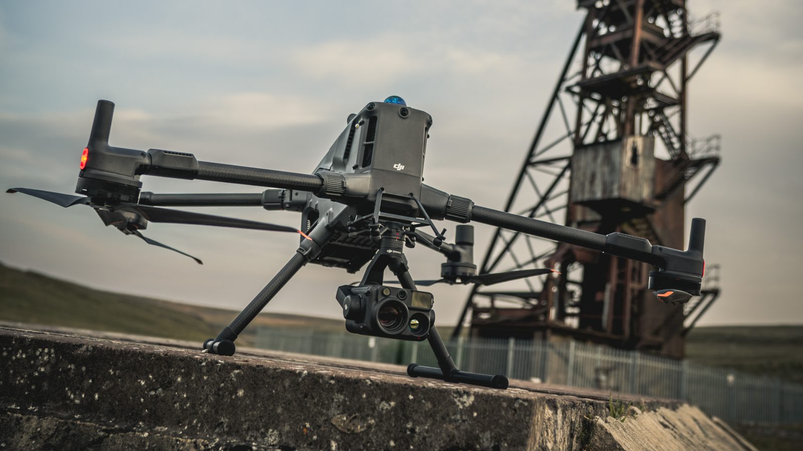
DJI Matrice 400 enterprise inspection drone
Aerial Capture

DJI Matrice 400

Flagship enterprise UAV with RTK positioning and multi-payload capacity for the most demanding aerial work.

PayloadsL2 · P1 · H30T
PositioningRTK GPS
Best forExternal · Topo · Stockpile
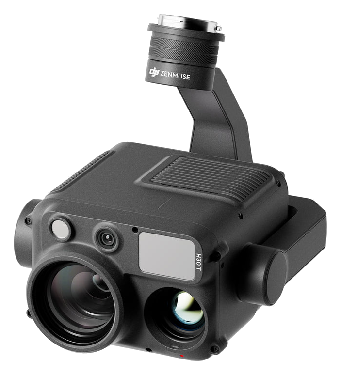
DJI Zenmuse H30T thermal imaging payload
Thermal & Visual Payload

DJI Zenmuse H30T

Multi-sensor gimbal payload combining wide, zoom, thermal, and laser rangefinder modules for inspection-grade aerial work.

Thermal640×512 LWIR
Zoom34× optical
Best forDelaminations · Hotspots
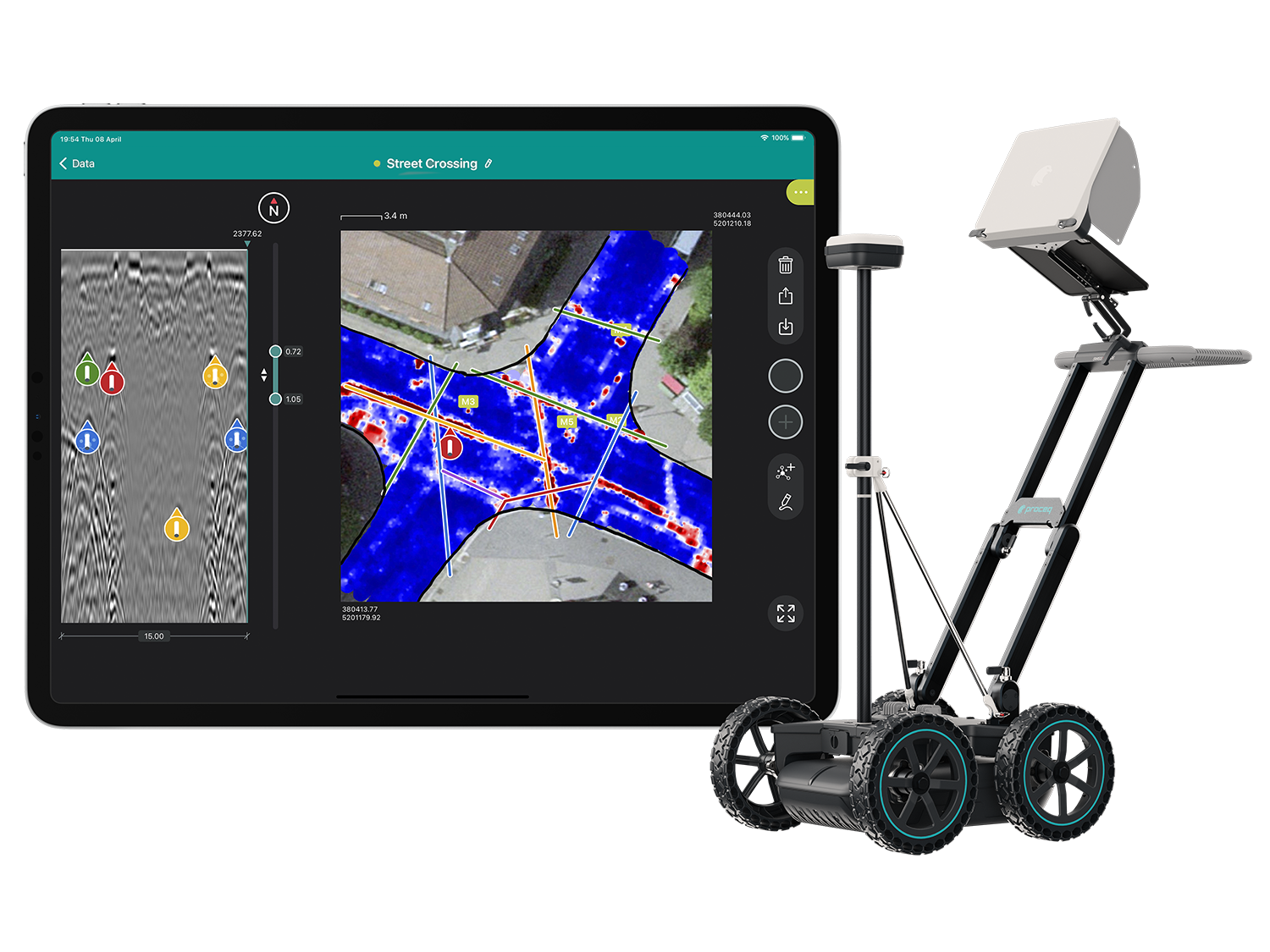
Proceq GS8000 ground penetrating radar
Subsurface GPR

Proceq GS8000

Wireless single-channel ground penetrating radar for subsurface utility detection and infrastructure mapping.

ChannelStepped-frequency continuous wave
OutputCAD · KML · GeoTIFF
Best forUtilities · Pipelines
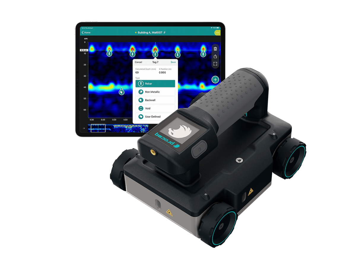
Proceq GP8000 portable concrete and rebar scanner
Concrete & Rebar GPR

Proceq GP8000

High-frequency GPR for non-destructive concrete inspection: rebar location, cover, slab thickness, and structural anomaly detection.

ResolutionSub-centimetre
OutputRebar maps · B-scans · 3D cubes
Best forBridges · Slabs · Columns
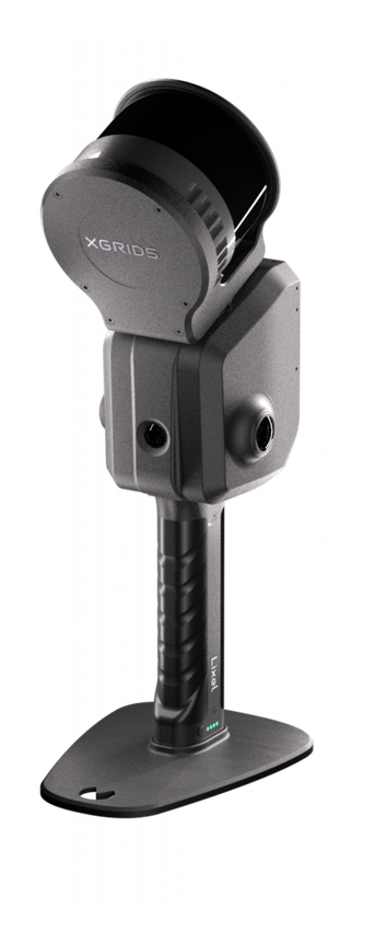
Handheld SLAM scanner for dense point clouds and photoreal 3D capture
Handheld 3D capture

Photoreal 3D &
point-cloud scanners

A range of handheld SLAM scanners that capture dense survey-grade point clouds and photoreal 3D reconstructions, for complex, confined, or hard-to-access interiors where wearable systems are impractical.

CapturePoint cloud + photoreal 3D mesh
MethodReal-time handheld SLAM
Best forComplex interiors
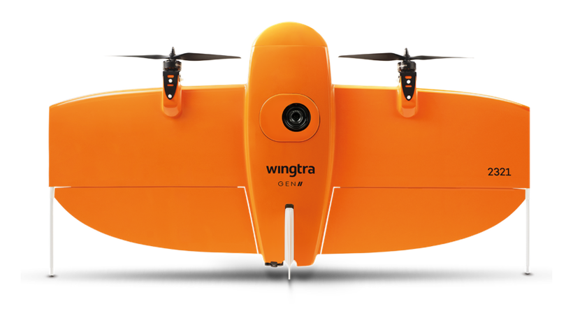
WingtraOne VTOL fixed-wing mapping drone
Large Area

WingtraOne

VTOL fixed-wing platform for corridor and large-area survey work, with vertical take-off and landing in confined sites.

Coverage500+ ha per flight
Cadence20,000+ ha achieved
Best forMining · Corridors
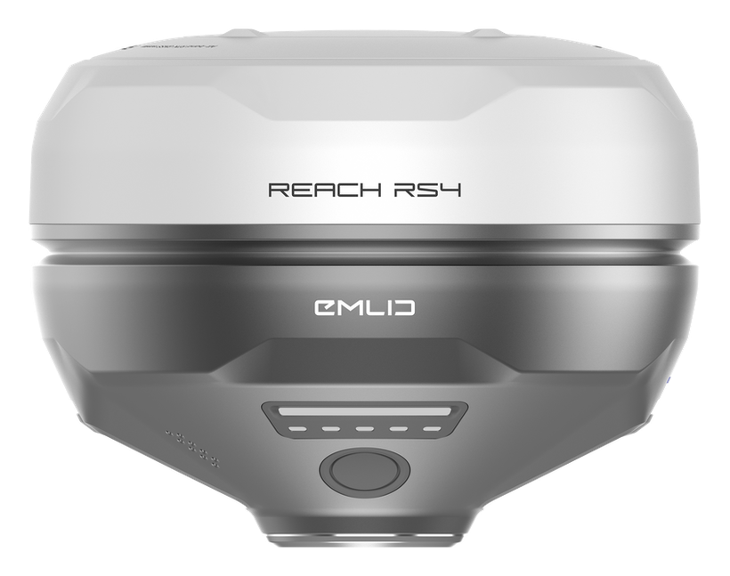
Emlid Reach RS4 RTK GNSS receiver
Ground Control

Emlid RS4

Survey-grade RTK GNSS receiver for ground-control network establishment, high-accuracy positioning, and final deliverable sign-off.

Survey typeCadastral · Engineering
Sign-offSAGI approved
IntegrationRevit · Civil 3D
Research

Built in-house,
always advancing.

Delta Scan holds SARS R&D grant recognition (11D FY2025) for our ongoing development work. We invest continuously in our own capture, reconstruction, and AI defect-detection capability, extending it across new asset types and tightening accuracy where it matters most to operators.

The detail of how our tools are built is proprietary. What our clients see is the outcome: higher-fidelity 3D records, faster automated defect detection at network scale, and a defect taxonomy tuned to the specific assets in their sector, all reviewed and signed by a registered Pr Eng.

Accuracy & standards

Built to be signed, not just shared.

Pr EngECSA 202001436

Every engineering deliverable is reviewed and signed by Darryl Epstein, a registered Professional Engineer (Pr Eng, ECSA 202001436).

SAGIsurvey

Geospatial deliverables carry registered land-surveyor sign-off where accuracy must be certified.

Classstated

Every deliverable carries a stated survey accuracy class or BIM level of development (LOD), reported per engagement against check-point analysis.

Standardscited

Findings cross-referenced to the applicable codes (SANS, TMH, EN), with accuracy statements on every report.

Start here

Have a capability gap we can close?

Send the brief and our engineering team will review your enquiry and reply within one business day. Prefer to talk first? Call or WhatsApp us below.

Response within 1 business day · Pr Eng or SAGI signed

Start a project Call