Use our capture and tooling on your own projects. You set the brief and the standards, you hold the client, and you carry the engineering. We bring the sensors, the processing, and the platform, and deliver the data straight into your workflow, in your formats. Think of us as your technology layer.
For engineering firms
A technology partner
A technology partner
to engineers.
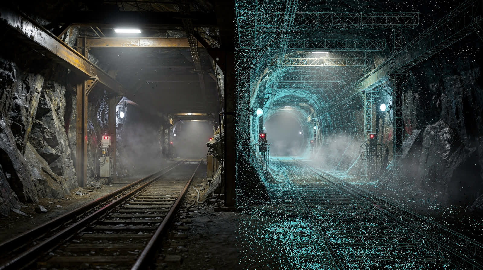
Engineering firms across mining, energy, and infrastructure bring us in for the capture and the digital tooling behind their own investigations: LiDAR, GPR, topographic survey, scan-to-BIM, and the platform underneath. You keep your client and your engineering authority. We bring the technology.







What we bring
The technology behind your team.
Capture, processing, and the platform underneath, delivered into your hands in your formats.
Capture across every sensor we run
Every sensor class we run, mobilised to your survey control and captured to the accuracy class you specify:
- Terrestrial and mobile LiDAR (NavVis VLX3, handheld SLAM)
- UAV photogrammetry and aerial LiDAR (DJI M350 RTK, fixed-wing)
- Confined-space, collision-tolerant drone (Flyability ELIOS 3)
- Ground penetrating radar, bathymetric survey, 360 video inspection
Processing and modelling to your spec
Registered and classified point clouds, scan-to-BIM in Revit and CAD in AutoCAD to an agreed LOD, topographic surveys, DTM/DSM/DEM, contours, volumetrics, orthomosaics, and meshes. Built to your CAD and BIM template, not ours, so the output drops straight into the workflow your team already runs.
Deliverables in your own formats
Open and interoperable: LAS/LAZ, E57, RCP/ReCap, native Revit, IFC, DWG, GeoTIFF, and the coordinate system your downstream tools expect. No proprietary trap. The data is yours and your client’s to take in-house or move at any time.
An evidence pack you can sign behind
Every dataset ships with its provenance: instrument and calibration records, registration residuals and error statistics, the control report, and a QA checklist. What you put your seal on is fully defensible, with the measurement record attached.
DeltaCloud, optional and lock-in free
Versioned hosting, role-based access, and a full audit trail through DeltaCloud if you want it. If you do not, we hand over in open formats and step back. Adopt it or ignore it; the data and the export are always yours.
An unbundled menu
Buy only capture, only processing, only platform access, or any combination. Each module is scoped and priced independently, so you take exactly what extends your team and nothing you do not need.
Your client stays your client
Behind the scenes, by design.
We work under your brand, behind the scenes. The data is always yours, in open formats, to take in-house or move at any time. NDAs and white-label delivery are available on request. We are the technology behind the work, never a competitor for the relationship.
Available as partner-capture
The full menu.
Take any of these as a standalone module, or combine them. Each is scoped and priced on its own.
- Terrestrial and mobile LiDAR (static, NavVis VLX3, handheld SLAM)
- UAV photogrammetry and aerial LiDAR (DJI M350 RTK, fixed-wing)
- Confined-space and collision-tolerant drone capture (ELIOS 3)
- Ground penetrating radar (GPR) survey
- Topographic, contour, and volumetric survey
- Bathymetric survey for water bodies, tailings dams, and coastal work
- Scan-to-BIM (Revit) and CAD drafting (AutoCAD) to agreed LOD
- Point cloud registration, classification, and processing
- Orthomosaics, DTM/DSM/DEM, and photogrammetric meshes
- 360 video inspection capture and review (Omnispect)
- DeltaCloud hosting, versioning, and access (optional)
- Bespoke tooling and AI defect-detection pipelines where a project warrants it
Start here
Bring us in behind your team
Tell us about the engagement. You hold the client and the engineering authority; we deliver the capture and tooling underneath. Our engineering team reviews every enquiry and replies within one business day.