






Specialised Service

AI Road Condition Analysis

Automated detection and classification of road defects from dashcam footage. RoadAI software, TMH9 and ASTM compliance, GPS-accurate severity scoring, and full network audits at a fraction of the cost of manual visual surveys.

Trusted by
Sasol Eskom Impala Platinum Sibanye-Stillwater Afrimat Growthpoint Concor Stefanutti Stocks Zutari Infrastructure South Africa
In short

AI road condition analysis turns dashcam or drone footage into a TMH9-aligned defect inventory. Delta Scan's RoadAI software automatically classifies potholes, cracking, and rutting with GPS positions across provincial and municipal networks, replacing slow, sample-based visual rating walks.

South African road networks are large, ageing, and underfunded relative to maintenance need. Traditional condition assessment relies on visual rating walks at sample sections, extrapolated to the full network through statistical methods. The result is partial coverage, slow update cadence, and a Pavement Condition Index value that may not reflect the actual current state of any specific link.

AI road condition analysis changes the economics. Delta Scan's RoadAI software processes dashcam video from any vehicle and produces a georeferenced defect database in near real time. Cracks, potholes, rutting, ravelling, edge break, and surface texture deterioration are detected, classified, and severity-scored. The output aligns with COTO TMH9 Visual Assessment Manual conventions and integrates with provincial roads database systems.
On the network

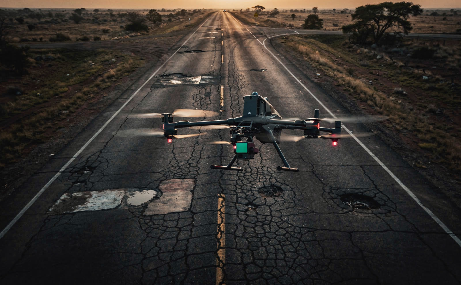
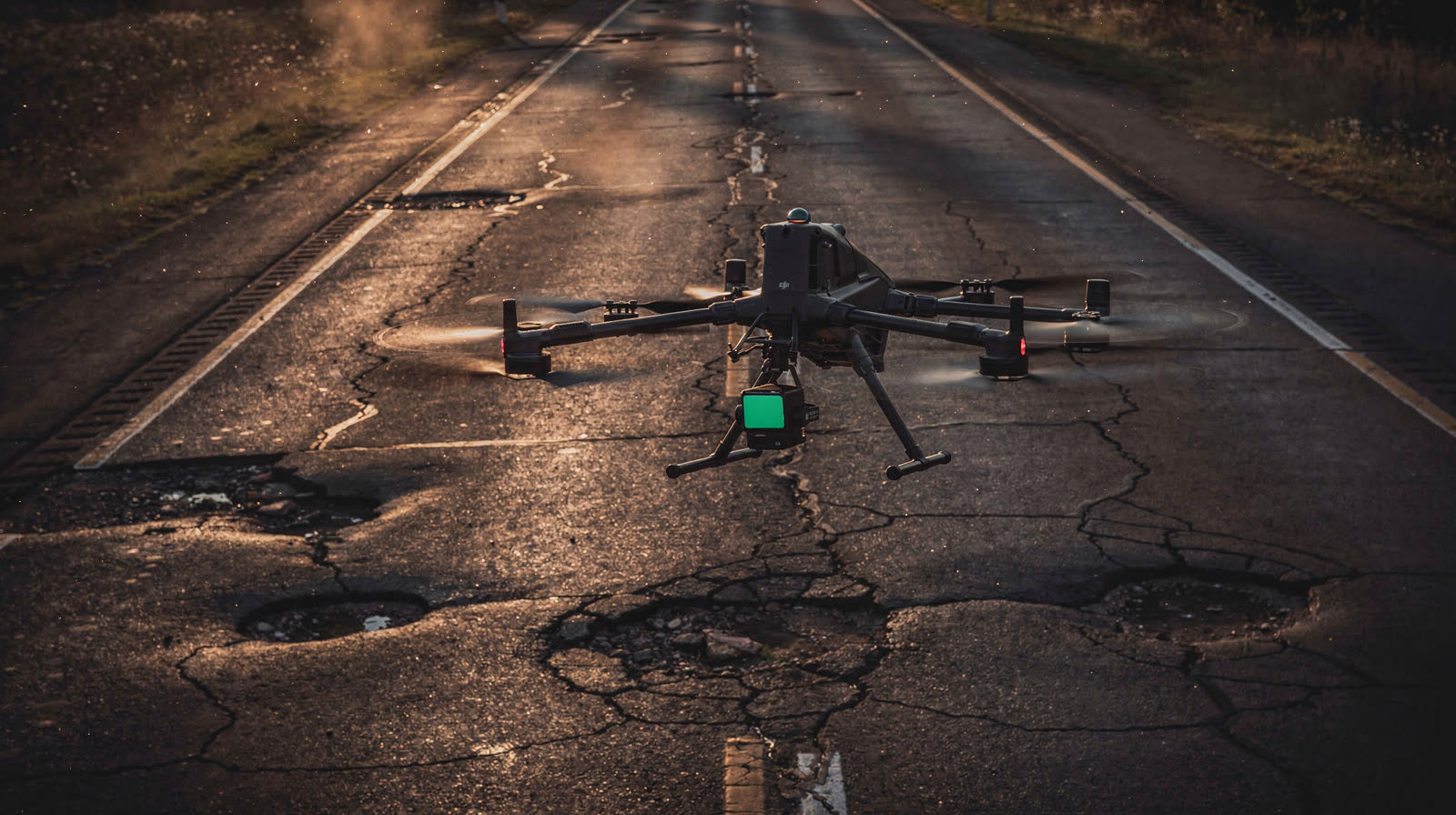
Real roads, real distress.

Network-scale capture of live road surfaces. These distressed sections are the raw material RoadAI classifies into a TMH9-aligned defect inventory.

When to use it

Typical engagements.

Each scenario below represents a real-world trigger for this service. If your situation matches one of these, get in touch.

Provincial road network audits

Full coverage of a provincial road network can be captured in weeks rather than the years a comprehensive manual survey requires. Output supports budgeting, prioritisation, and politically defensible allocation decisions.

Municipal road masterplans

Metropolitan and local municipalities use RoadAI output for pavement management system input, condition trending, and capital budget allocation across the urban network.

Pre-handover and warranty inspections

New road sections in their warranty period require condition monitoring. RoadAI provides quantitative defect tracking over time, supporting warranty enforcement against the construction contractor.

Fleet operator pavement intelligence

Logistics operators, mining haul road operators, and large industrial complexes use RoadAI to monitor private road networks and prioritise haul route maintenance.

How it works

Our process.

A repeatable five-stage workflow. The same disciplined sequence runs whether the site is a 500-hectare mining operation or a single 60-metre bridge.

01

Capture vehicle setup

A standard fleet vehicle is fitted with a dashcam (we provide hardware or work with existing camera installations) and GPS. The vehicle can be a normal operations vehicle: capture happens during routine driving without dedicated survey runs.

02

Video acquisition

The dashcam captures continuous video as the vehicle drives the road network. Coverage is achieved through normal traffic patterns. Multiple passes are encouraged: detection confidence increases with repeat exposure.

03

RoadAI inference

Video is uploaded to DeltaCloud and processed through the RoadAI proprietary AI inference pipeline. Defects are detected frame-by-frame, deduplicated across frames, and assigned a single canonical georeferenced location and severity score.

04

TMH9 alignment

Detections are mapped to the COTO TMH9 Visual Assessment Manual defect categories: longitudinal cracking, transverse cracking, alligator cracking, rutting, potholes, edge break, surface deterioration. Severity scoring follows TMH9 conventions.

05

Network report and dashboard

Output is a GeoJSON defect database, a network condition dashboard with link-level Pavement Condition Index estimates, and prioritised intervention recommendations. Provided through DeltaCloud with full historical comparison where multiple epochs exist.

Request a road network audit Request a road assessment
Equipment

What we use.

Calibrated, sector-matched hardware combined with proprietary software. The capture stack is selected for the asset, not the other way around.

RoadAI software

RoadAI software

Delta Scan proprietary AI pipeline. TMH9 aligned. GPS-accurate to within 5 metres. Processes network-scale audits in days, not weeks.

Capture vehicle integration

Compatible with most modern dashcam systems. Hardware-agnostic: integrates with fleet telematics where present, or we provide a dedicated capture rig for survey-only deployments.

Sectors

Where this fits.

The same engineering discipline applies across Provincial roads, Municipal, Mining haul roads, Logistics and corridor. The detail changes with the asset class and the operational context.

Provincial roads

Department of Transport networks, SANRAL secondary networks, provincial trunk and secondary networks

Municipal

Metro and local council road networks, supporting GIS-integrated pavement management systems

Mining haul roads

Heavy-haul private road networks at mining operations, dust suppression effectiveness tracking

Logistics and corridor

Strategic logistics corridor monitoring, port access roads, industrial estate networks

FAQ

Frequent questions.

Direct answers to the questions clients ask most often before engaging.

How does RoadAI compare to a manual TMH9 visual rating walk?

A manual TMH9 walk costs roughly R3,000 to R5,000 per kilometre and takes one to two days per ten kilometres. RoadAI processes the same kilometre at under R200 with output available within 48 hours. The data is quantitative and comparable epoch-to-epoch, where manual ratings are inherently subjective and rater-dependent.

What defects can RoadAI detect?

Longitudinal cracks, transverse cracks, alligator cracking, rutting, potholes (geometry and depth), edge break, ravelling, surface texture deterioration, and pavement repair patches. Specific minor defects like minor crack sealing failures are out of scope.

Is the output usable as input to my pavement management system?

Yes. RoadAI output exports as GeoJSON, KML, shapefile, or directly into common pavement management system formats. Provincial DoT pavement management systems and metro road agency PMSs are routinely supported.

What about night-time or wet road conditions?

RoadAI performs best in daylight on dry surfaces. Wet roads reduce detection confidence by 15 to 25 percent depending on rain intensity. Night capture is possible with appropriate dashcam lighting but accuracy is lower. We recommend repeat passes for any sections initially captured in suboptimal conditions.

Can RoadAI work on gravel roads?

RoadAI is optimised for paved surfaces (asphalt and concrete), where its TMH9-aligned classification is strongest. Gravel and unsealed-road applications are scoped and quoted on consultation.

Who reviews the AI output before it becomes a deliverable?

Every report is reviewed by a registered civil engineer with road infrastructure experience. AI detections are flagged for manual confirmation where confidence is below threshold. The deliverable is engineering-grade, not AI-grade.

Related services

If this fits, these often do too.

Engineering programmes rarely run on a single service. These adjacent capabilities most often pair with the work above.

Accuracy & standards

Built to be signed, not just shared.

Pr EngECSA 202001436

Every engineering deliverable is reviewed and signed by Darryl Epstein, a registered Professional Engineer (Pr Eng, ECSA 202001436).

SAGIsurvey

Geospatial deliverables carry registered land-surveyor sign-off where accuracy must be certified.

Classstated

Every deliverable carries a stated survey accuracy class or BIM level of development (LOD), reported per engagement against check-point analysis.

Standardscited

Findings cross-referenced to the applicable codes (SANS, TMH, EN), with accuracy statements on every report.

Start here

Request a road network audit

Send the brief and our engineering team will review your enquiry and reply within one business day. Prefer to talk first? Call or WhatsApp us below.

Response within 1 business day · Pr Eng or SAGI signed

Start a project Call