






Specialised Service

Stockpile Volumetric Surveys

Drone-based volumetric surveys of stockpiles for mining, aggregate, port handling, and bulk material operations. RTK GNSS positioning, SAGI-approved sign-off, and reporting suitable for end-of-month reconciliation, financial reporting, and capacity verification.

Trusted by
Sasol Eskom Impala Platinum Sibanye-Stillwater Afrimat Growthpoint Concor Stefanutti Stocks Zutari Infrastructure South Africa
In short

A stockpile volumetric survey measures the exact volume and tonnage of bulk material from drone capture. Delta Scan delivers SAGI-signed, reconciliation-grade volumes for mining, aggregates, and port handling, fast enough for monthly and year-end stock counts without halting operations.

Stockpile volumes drive financial reconciliation, operational planning, and reporting in mining, aggregate, bulk handling, and port operations. Manual GNSS rover surveys are slow, expensive at scale, and incomplete in coverage. Drone-based photogrammetric surveys deliver dense, full-coverage volumetric data in a fraction of the time and cost, with accuracy that meets or exceeds traditional methods.

Delta Scan operates stockpile volumetric surveys for mining operators, aggregate producers, port and rail bulk handling facilities, and industrial bulk storage sites across Southern Africa and the Middle East. The standard deliverable supports end-of-month financial reconciliation, board reporting, and capacity planning. SAGI-approved sign-off is provided on every deliverable.
Selected output

Volumes, measured not guessed.

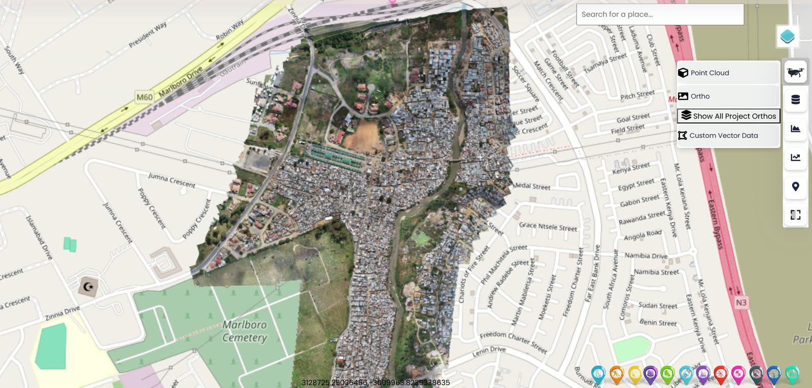
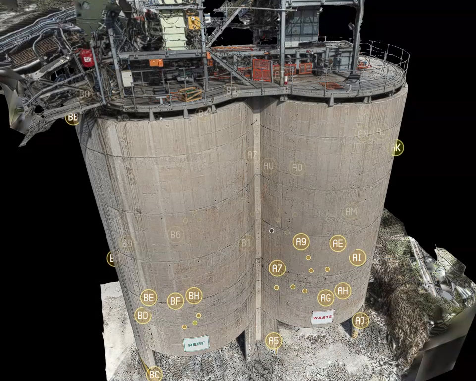
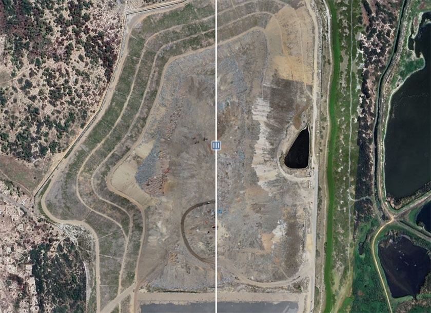
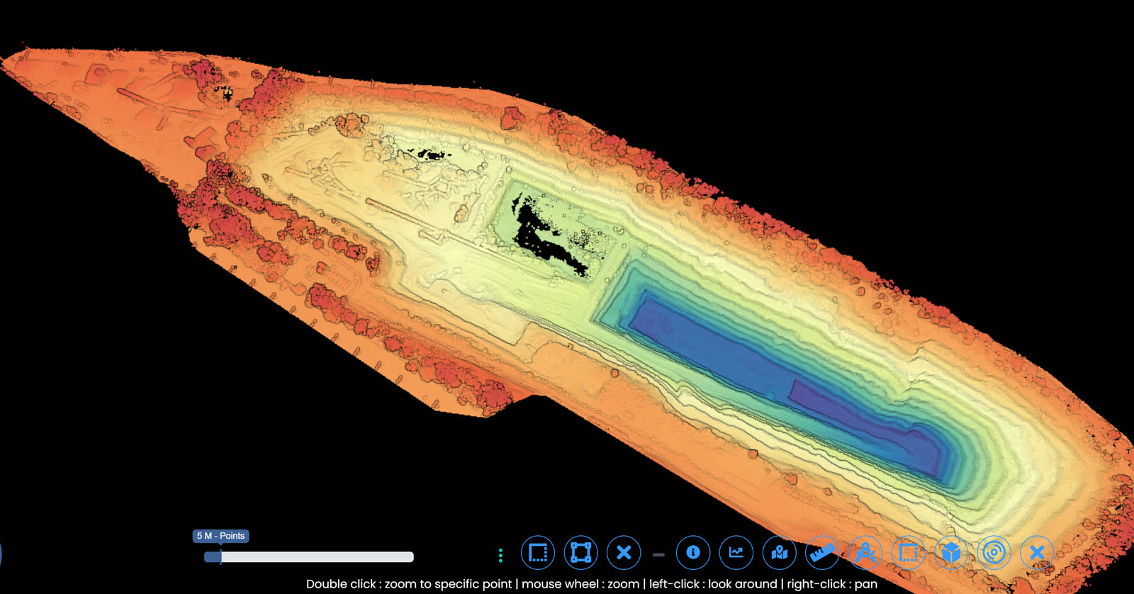
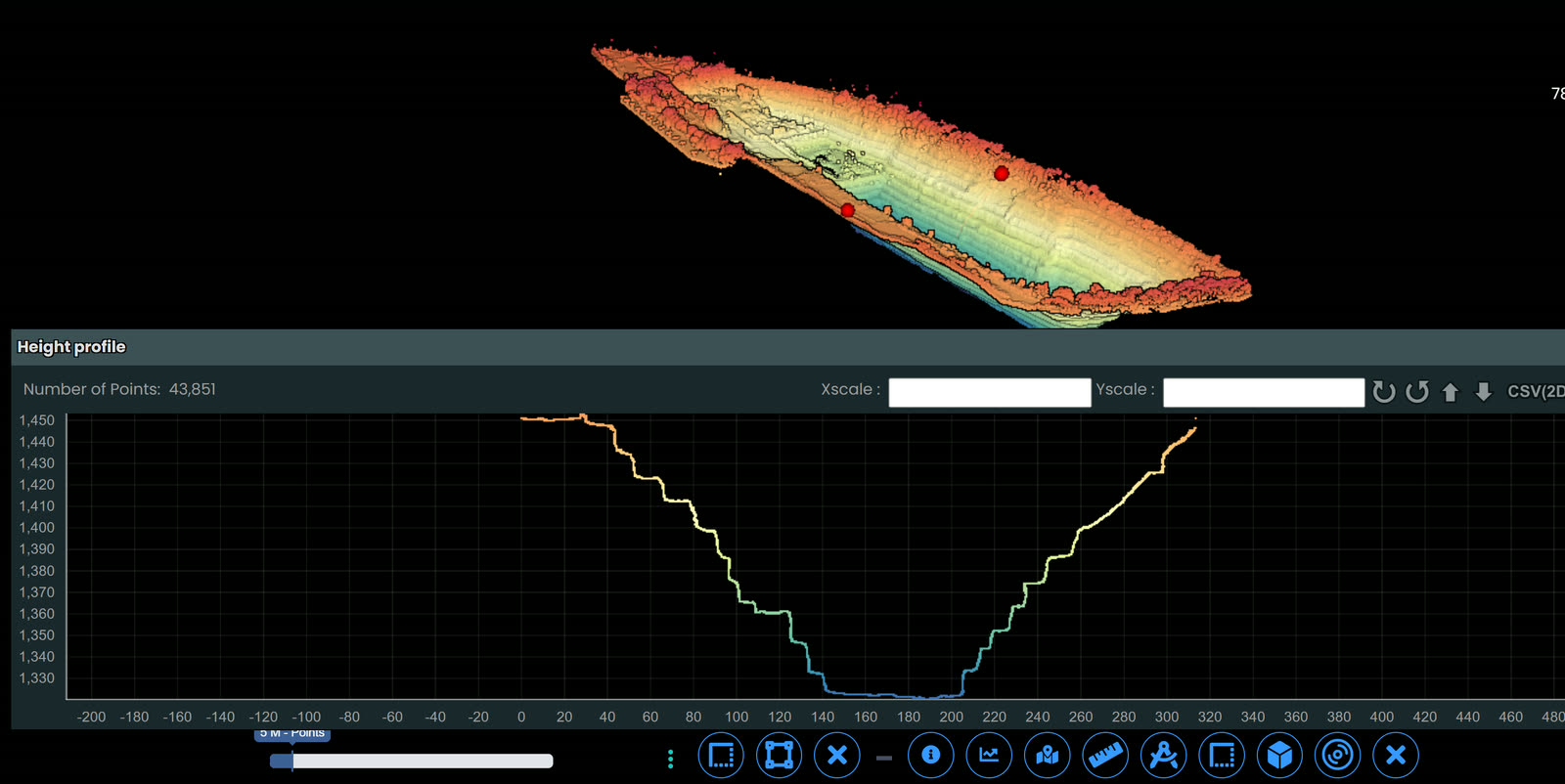
UAV capture reconstructed into surfaces and volumes for stockpile reconciliation, signed off by a registered surveyor.

When to use it

Typical engagements.

Each scenario below represents a real-world trigger for this service. If your situation matches one of these, get in touch.

End-of-month reconciliation

Monthly stockpile survey for financial reconciliation against produced and dispatched tonnages. Discrepancies are quantified rather than estimated.

Annual stocktake

Year-end audit-grade survey of all material stockpiles for financial year-end reporting and external auditor verification.

Capacity verification

Pre-shipment or pre-contract verification that available stockpile capacity matches contractual or operational commitment.

Bulk earthworks progress

Construction earthworks progress claims, cut-and-fill volumes for mining waste rock dumps, and rehabilitation backfill quantification.

How it works

Our process.

A repeatable five-stage workflow. The same disciplined sequence runs whether the site is a 500-hectare mining operation or a single 60-metre bridge.

01

Site setup and ground control

Permanent or campaign ground control points are placed and surveyed with RTK GNSS. For ongoing monthly surveys, permanent control reduces per-survey cost and improves epoch-to-epoch comparability.

02

Drone flight planning

Flight altitude, side overlap, and image trigger spacing are designed for the target stockpile size and accuracy. Multirotor for small to medium stockpiles, fixed-wing for large multi-stockpile operations exceeding 200 hectares.

03

Photogrammetric capture

RTK-positioned drone capture provides direct georeferencing with redundant ground control. Flight time for a single stockpile is typically 15 to 60 minutes; multi-stockpile operations complete in one to two days.

04

Processing and volumetric calculation

Structure-from-motion photogrammetry produces a dense point cloud, digital surface model, and orthomosaic. Volumetric calculation is performed against the established stockpile pad or against the previous epoch surface for reconciliation surveys.

05

SAGI-signed deliverable

A signed survey report including volumetric quantities by stockpile, accuracy statement from check-point analysis, 3D point cloud and DSM, top-down orthomosaic, and historical comparison where multiple epochs exist. Delivered through DeltaCloud.

Request a stockpile survey quote See drone survey capability
Equipment

What we use.

Calibrated, sector-matched hardware combined with proprietary software. The capture stack is selected for the asset, not the other way around.

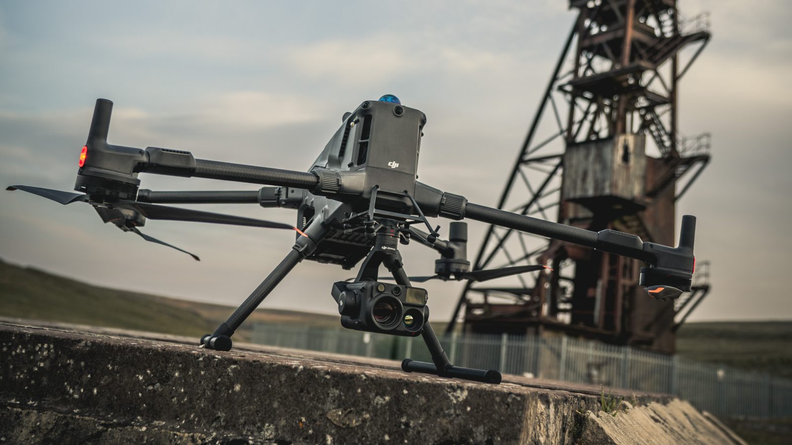
DJI Matrice 400

DJI Matrice 400

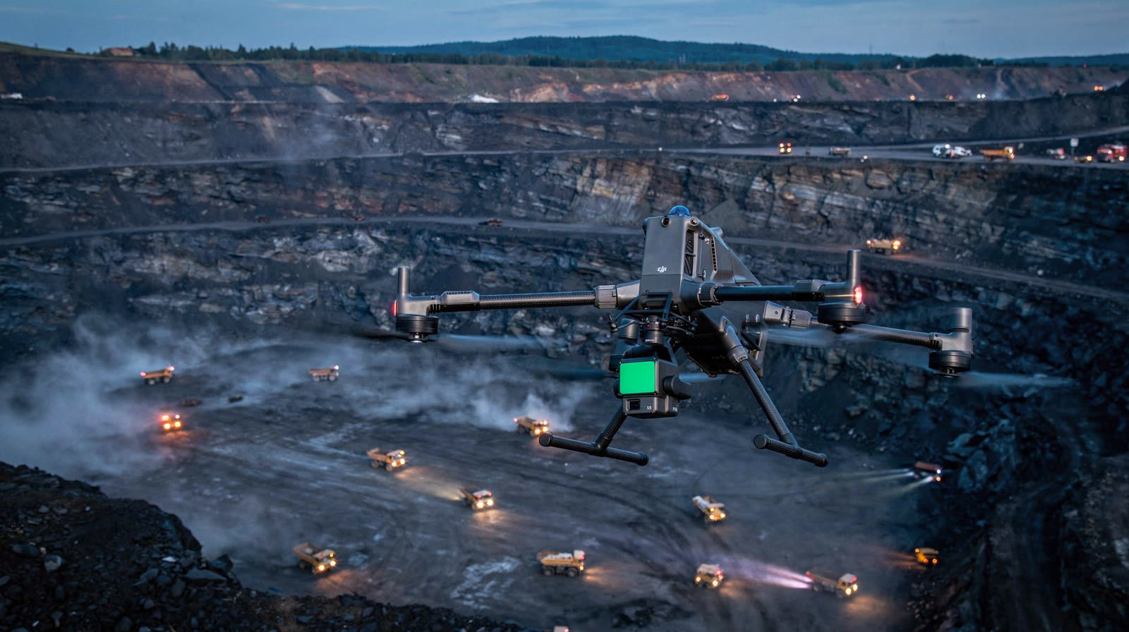
Multirotor for single to medium stockpile operations. RTK positioning, multi-flight capability for site coverage in a single mobilisation.

Fixed-wing UAV fleet

Long-endurance platforms for large multi-stockpile operations. 500+ hectares per flight envelope.

Trimble RTK GNSS

Ground control and check-point survey. Sub-centimetre accuracy referenced to Trignet or local base station network.

Sectors

Where this fits.

The same engineering discipline applies across Mining, Aggregate and quarry, Port and rail bulk handling, Industrial bulk. The detail changes with the asset class and the operational context.

Mining

ROM ore stockpiles, blended ore stockpiles, waste rock dumps, dispatch stockpiles. Monthly reconciliation against produced tonnages

Aggregate and quarry

Quarried product stockpiles, processed aggregate (crusher run, dimensional stone), industrial mineral fines

Port and rail bulk handling

Coal stockpiles at export terminals, iron ore handling, manganese, chrome, copper concentrate, agricultural bulk

Industrial bulk

Cement clinker yard stockpiles, ash dump volumetrics, salt and chemical product yards, scrap metal yards

FAQ

Frequent questions.

Direct answers to the questions clients ask most often before engaging.

What accuracy can you achieve?

Volumetric accuracy of 0.5 to 2 percent against survey-grade ground truth is achievable with proper ground control density. The actual achieved accuracy is reported per survey based on check-point analysis.

How does this compare to a manual rover survey?

A manual rover survey of a 200,000 cubic metre stockpile takes 2 to 4 days of field work, covers the surface at a sparse grid, and depends on the surveyor's walking path. Drone survey covers the same stockpile in 30 to 60 minutes at high density, with full-coverage data not sample-based extrapolation.

Can you survey wet, dusty, or windy sites?

Wet and dusty: yes. Windy: photogrammetric quality degrades above approximately 12 m/s sustained wind. Mission planning accounts for forecast conditions.

Is the deliverable accepted by auditors?

Yes. Major audit firms accept SAGI-signed drone-based volumetric surveys for annual stocktake verification. Where specific audit firm requirements exist, we tailor the deliverable to match.

Can we run our own drone and have you do the processing?

Yes. We offer a processing-only service where the client operates their own drone fleet but lacks in-house photogrammetric processing and engineering sign-off capability. Quality assurance on capture is the client's responsibility under this model.

Related services

If this fits, these often do too.

Engineering programmes rarely run on a single service. These adjacent capabilities most often pair with the work above.

Accuracy & standards

Built to be signed, not just shared.

Pr EngECSA 202001436

Every engineering deliverable is reviewed and signed by Darryl Epstein, a registered Professional Engineer (Pr Eng, ECSA 202001436).

SAGIsurvey

Geospatial deliverables carry registered land-surveyor sign-off where accuracy must be certified.

Classstated

Every deliverable carries a stated survey accuracy class or BIM level of development (LOD), reported per engagement against check-point analysis.

Standardscited

Findings cross-referenced to the applicable codes (SANS, TMH, EN), with accuracy statements on every report.

Start here

Request a stockpile survey quote

Send the brief and our engineering team will review your enquiry and reply within one business day. Prefer to talk first? Call or WhatsApp us below.

Response within 1 business day · Pr Eng or SAGI signed

Start a project Call