Engineering insights from the team.
41 articles. Field notes, technical deep-dives, industry perspectives, and company updates from the Delta Scan engineering team on digital inspection, condition audits, GIS, and the future of digital-driven engineering.











Concrete Scanning Before Cutting or Coring: A Safety Guide
Cutting a post-tensioning tendon is not a repair job, it is a structural event. What to scan for before you core a slab, and what a good scan gives you.

NDT Methods Compared: Thermography, GPR, Ultrasonic and Visual
Non-destructive testing is not one technique. Here is what thermography, GPR, ultrasonic gauging and remote visual inspection each detect, and where each is blind.
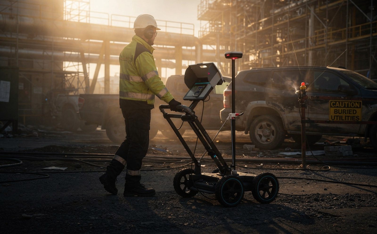
GPR vs Excavation: Locating Buried Services Before You Dig
Trial holes prove a point. Ground penetrating radar scans a corridor. Here is how the two compare for locating buried services, and where each one fails.
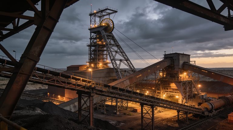
What a SIMM Structural Audit Actually Involves on a South African Mine
SIMM is the common language South African mines use to keep their structures safe. Here is what a SIMM structural audit actually assesses, how condition categories and repair priorities work, and how often it should be done.
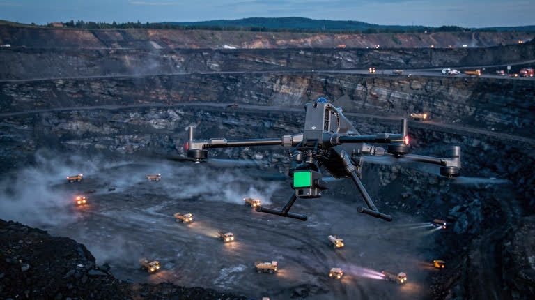
SIMM Audit Readiness Checklist for South African Mines
A practical checklist to get your mine ready for a SIMM structural audit: the register and standard, access and scope, the structures to include, what the report must contain, and how to close out critical findings.
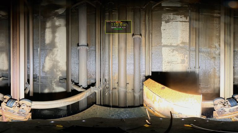
Manual Shaft Inspection vs Shaft Scanning: Cost, Safety and Coverage on South African Mines
The conventional manual shaft inspection versus a purpose-built shaft scanner on South African mines, compared on cost, safety and coverage.
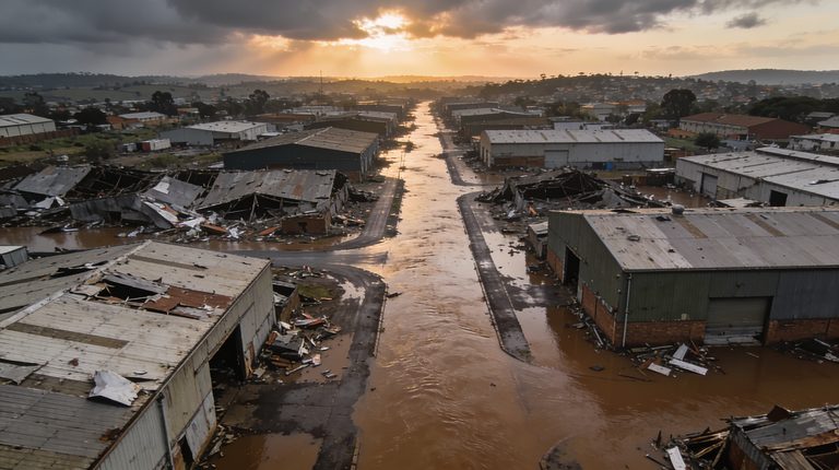
How to Document Flood, Fire and Storm Damage for an Insurance Claim
After a flood, fire or storm, the evidence for your insurance claim vanishes within days. A practical guide to documenting the damage properly and when to.
What a Structural Condition Audit Report Should Actually Contain
A folder of photographs is not an engineering deliverable. Here is exactly what a structural condition audit report should contain, and why the Pr Eng.
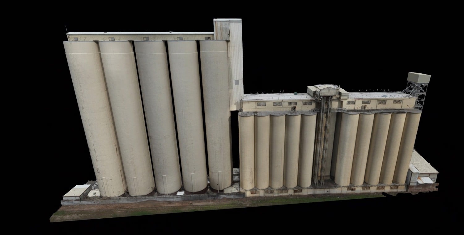
Six Signs a Silo Needs Inspection Before It Fails
The warning signs a silo needs structural inspection before it fails, from cracking and corrosion to flow problems, and how to check inside without.
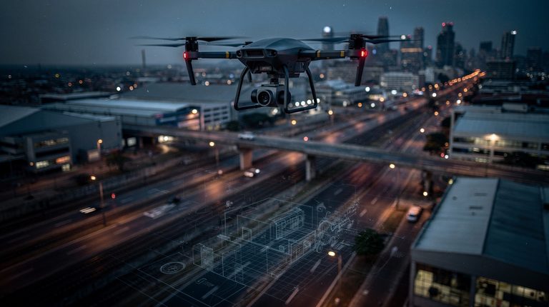
Drone Surveying & GIS: How South African Infrastructure Projects Are Becoming Smarter
Traditional surveying methods are being revolutionised by drone technology and GIS systems, enabling South African infrastructure projects to operate with greater accuracy, efficiency and safety.
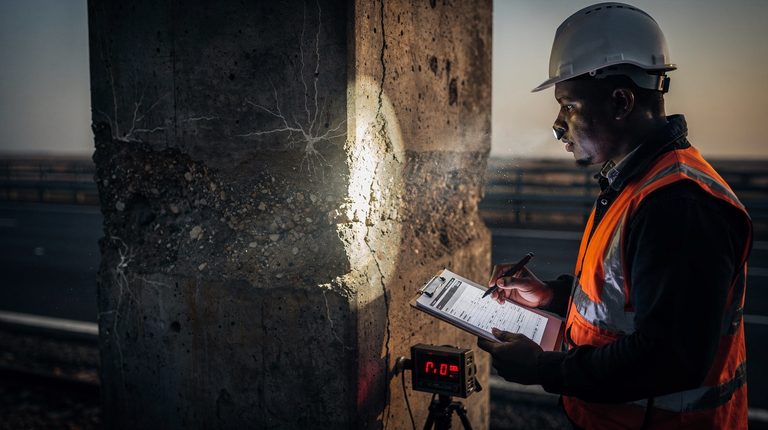
Engineering Condition Assessments: Why They Matter for South African Infrastructure
Explore why engineering condition assessments are critical for South African infrastructure, covering safety risks, aging structures and modern assessment techniques.
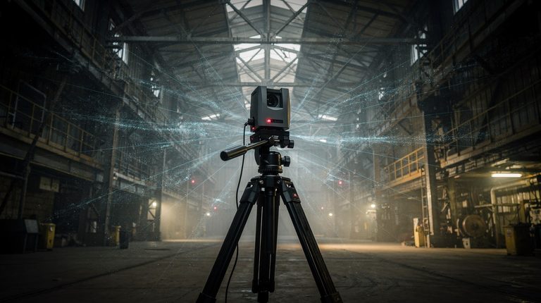
What Is LiDAR Scanning and Why South African Projects Rely on It
LiDAR scanning has become essential for South African infrastructure projects. Learn how this laser-based technology is transforming structural inspections, surveying and construction planning.
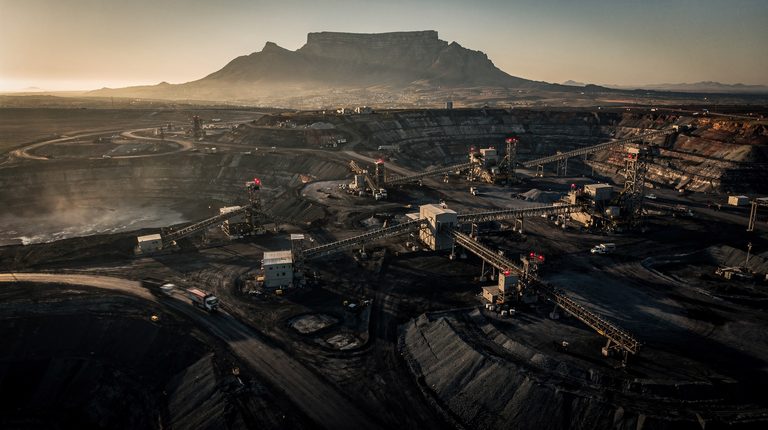
Top Surveying Companies in South Africa: What Sets Delta Scan Apart
Delta Scan combines drone surveying, LiDAR scanning and GIS integration to deliver high-precision geospatial solutions across South Africa's infrastructure and development sectors.
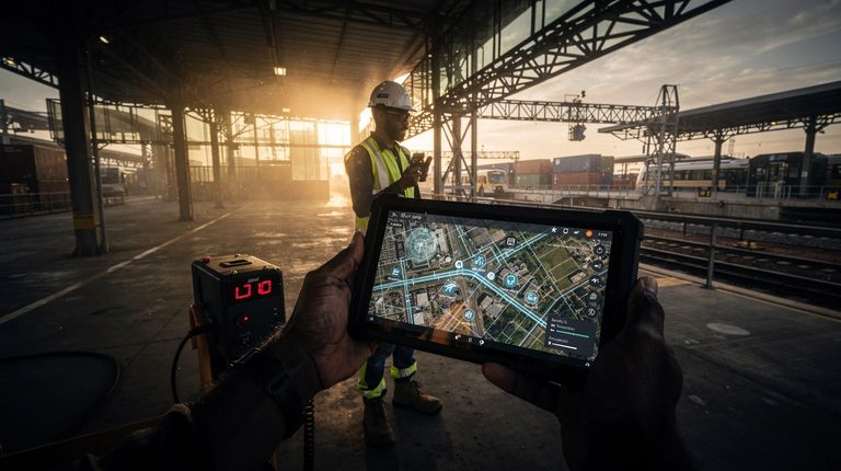
GIS and Smart Infrastructure in South Africa
Geographic Information Systems and advanced surveying technologies are transforming infrastructure planning across South Africa, enabling smarter, more resilient development through integrated spatial data and digital modelling.
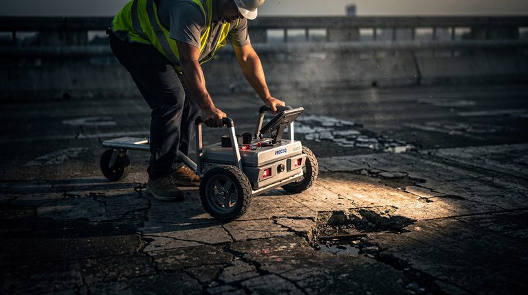
The Critical Role of Engineering Condition Assessments in Modern Infrastructure
As South Africa's infrastructure ages, the ability to evaluate, maintain, and plan upgrades to buildings, bridges, and railways becomes essential. How drone surveying, GIS, and Scan to BIM make modern Engineering Condition Assessments more advanced than ever.
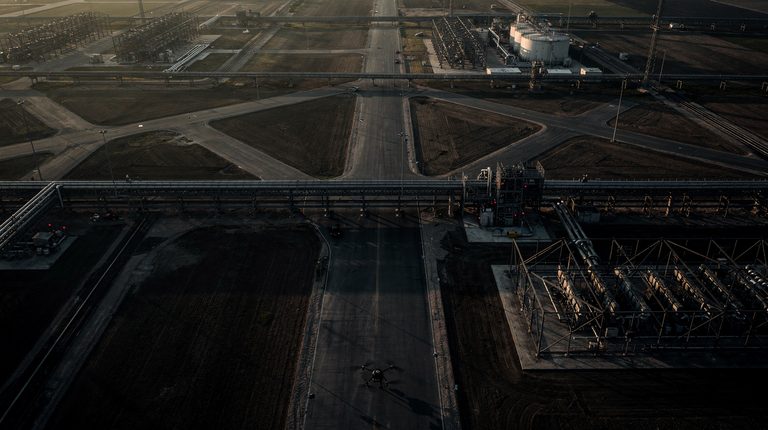
Enhancing Infrastructure Projects through GIS and Drone Surveying
Traditional surveying is too slow, too expensive, and too error-prone for modern infrastructure. GIS and drone surveying together change the economics of planning, executing, and maintaining built assets.
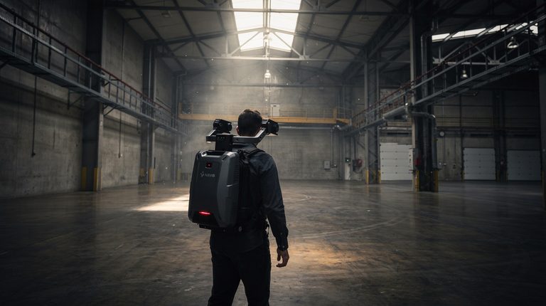
Revolutionising Construction with Drone Surveying and Scan to BIM
Drone surveying combined with Scan to BIM gives construction teams authentic site conditions before development begins. The result: fewer revisions, safer sites, and outputs that match design intent.
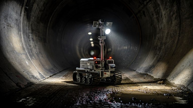
Delta Scan's Rover
A breakthrough in confined-space inspection: Delta Scan's in-house rover navigates openings as small as 350mm and recently completed a 1,000+ metre single-pipe survey.
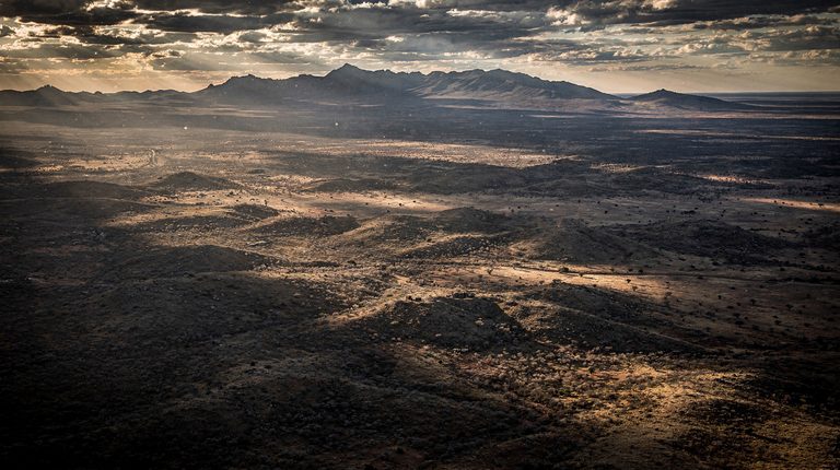
Delta Scan Earth Day 2024
Earth Day 2024 and how aerial photogrammetry technology supports environmental protection, climate change assessment, and disaster response across the natural world.
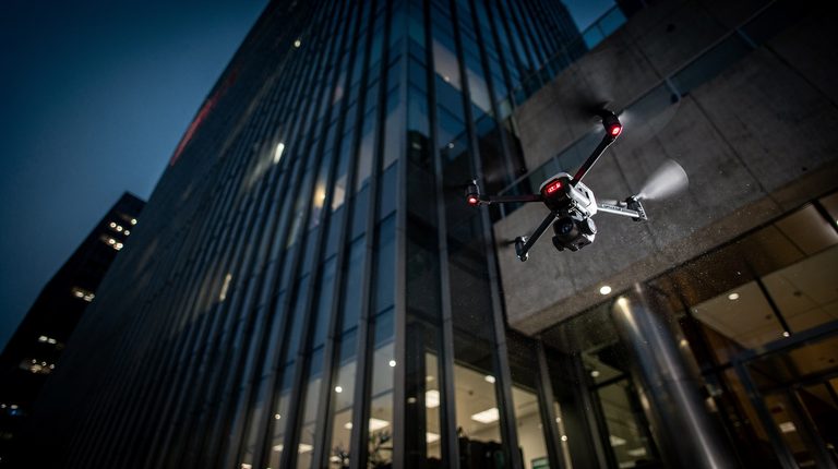
Commercial Façade Inspections
Drone-assisted façade inspections eliminate height work, accelerate coverage, and pair with AI defect detection to identify cracks, corrosion, and material defects with exceptional precision.
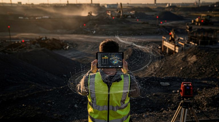
The Future of Surveying with a Hybrid AI Approach
Explore how the integration of human expertise and artificial intelligence is transforming the surveying industry through machine learning and data analysis.
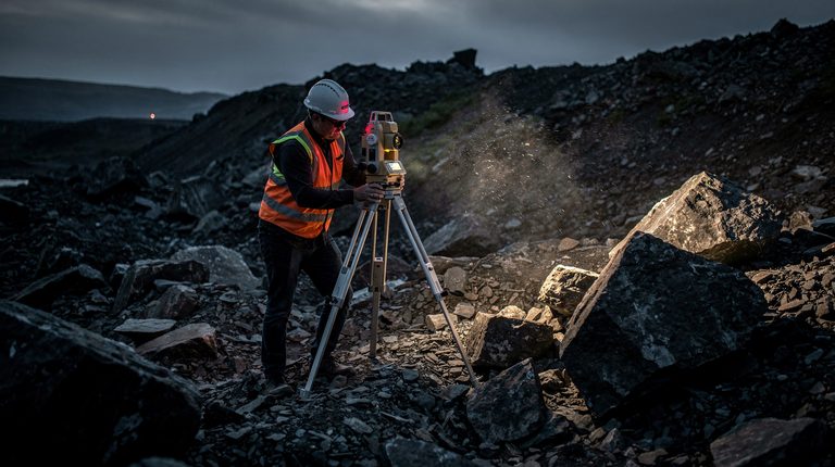
Overcoming Surveying Challenges
Delta Scan addresses common surveying pain points through advanced digitisation technology, improving efficiency, accuracy and safety across construction, mining and environmental monitoring.
Data Security and Privacy in Survey Digitisation
Explore how Delta Scan safeguards surveying data through robust security infrastructure, encryption and compliance with GDPR and CCPA regulations.
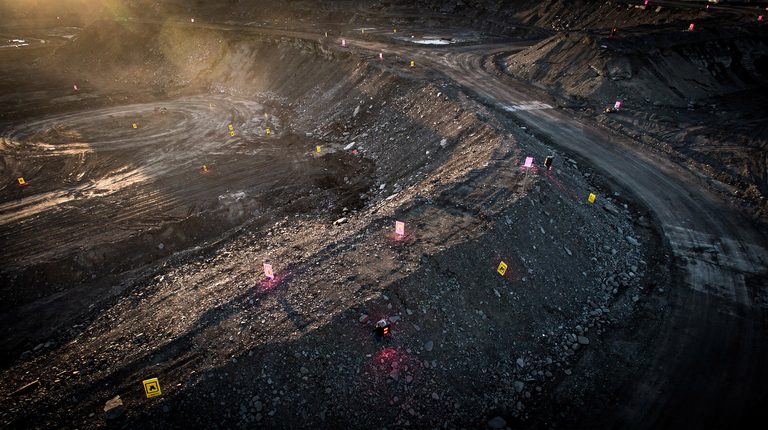
The Power of Drone Photogrammetry
Drone photogrammetry is revolutionising site surveying by combining unmanned aerial vehicles with precision imaging to deliver faster, safer and more accurate data collection.
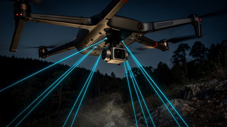
Aerial LiDAR: A Transformative Breakthrough
Aerial LiDAR technology is revolutionising surveying by using laser pulses to create detailed 3D point clouds, offering superior accuracy and efficiency for site digitisation.
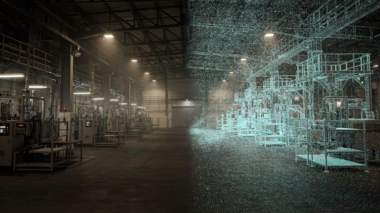
Unleashing the Potential of 3D Digital Twins
The digital transformation sweeping across industries has opened new doors to innovative ways of understanding and interacting with the physical world.
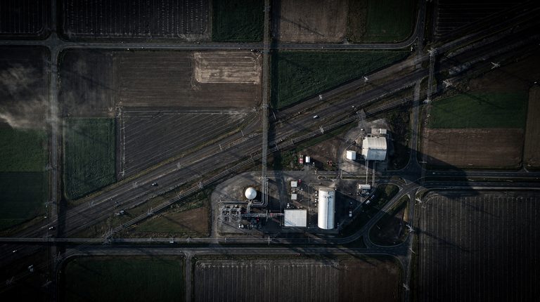
Orthophotos: A Clearer Perspective
Orthophotos are geometrically corrected aerial photographs that provide distortion-free representations of landscapes, revolutionising how professionals analyse spatial data.
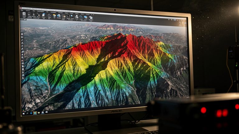
DTM and DEM: Elevating Survey Accuracy
Explore how Digital Terrain Models and Digital Elevation Models transform surveying practices, enhancing accuracy for planning and construction projects.
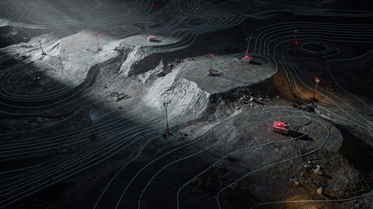
Contours: Navigating the Landscapes
Contour maps are essential surveying tools that visualise terrain elevation. Digitisation is transforming their creation, enhancing accuracy and accessibility for design and engineering.
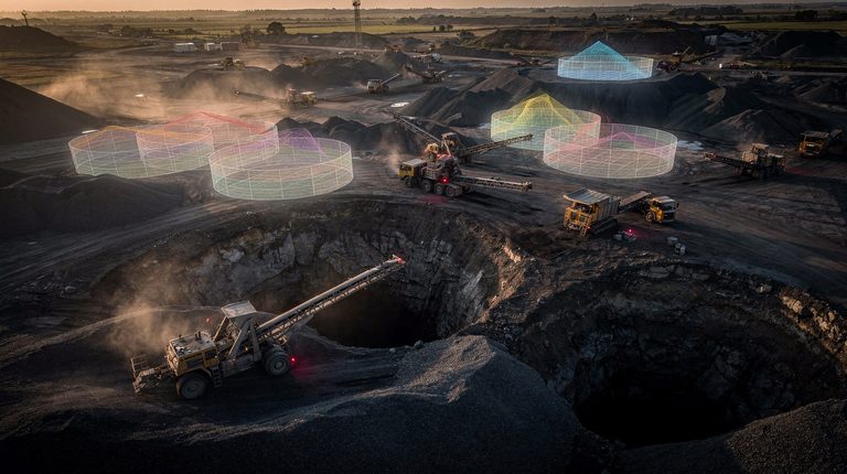
Volumetric Analysis: Calculating Earthworks Efficiently
Explore how precise volumetric calculations streamline site development projects, reducing costs and improving resource management through advanced LiDAR technology.
Introduction to Mine Digitisation
Delta Scan is transforming mining inspections through digitisation, offering safer, more cost-efficient operations using drone photogrammetry and AI-powered solutions.
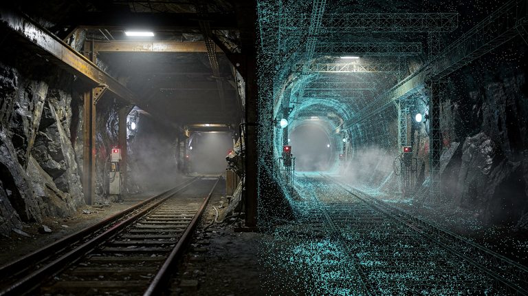
The Power of Digital Twins in Mining
Digital twins are transforming mining operations through remote inspections, real-time monitoring and predictive analysis, enhancing safety and efficiency.
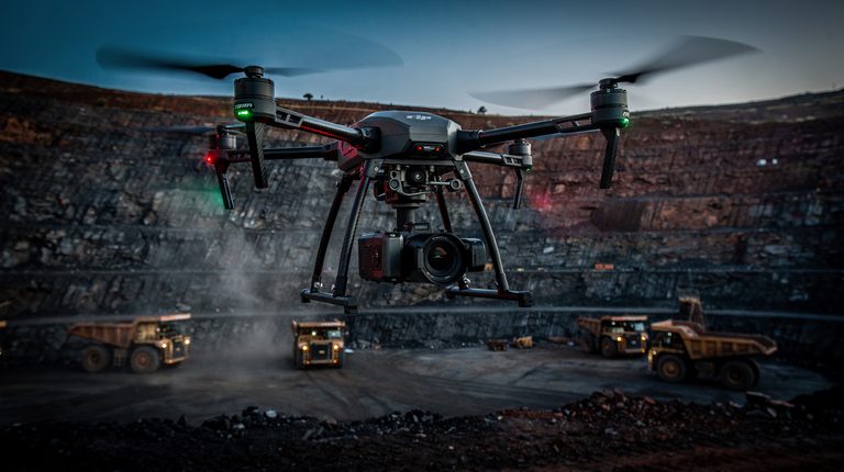
Drones in Mining: A Game Changer
Mining enters the digital age as drone technology revolutionises data collection, enhancing efficiency and safety across the industry.
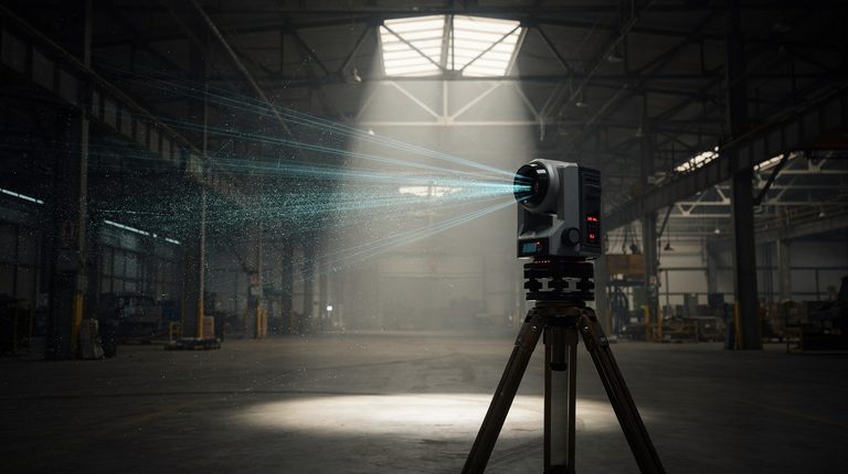
Terrestrial LiDAR Technology: An Overview
Terrestrial LiDAR technology is transforming mine digitisation through high-precision 3D mapping that complements drone photogrammetry.
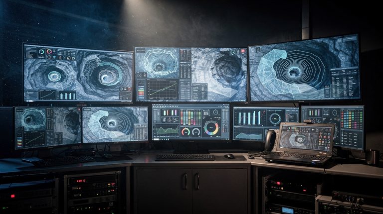
The Hybrid AI Approach to Mine Digitisation
Delta Scan explores how artificial intelligence combined with 3D data technologies is revolutionising mine inspections, maintenance and safety.
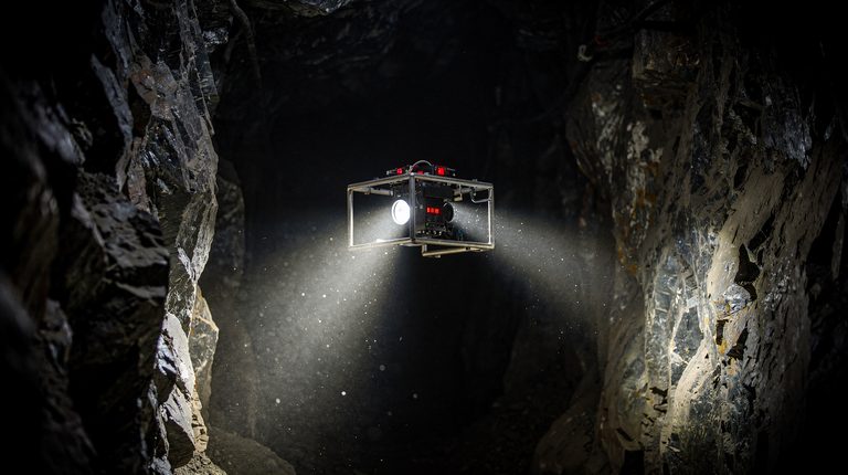
Addressing Safety Concerns in Mines
Mining operations face inherent safety challenges, but digitisation technologies like drones and LiDAR are transforming how the industry protects workers and prevents accidents.
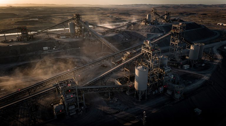
Optimising Asset Management in Mining
Digital twins are revolutionising asset management in mining operations, enabling real-time tracking, predictive maintenance and cost optimisation.
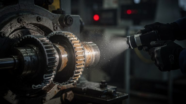
Predictive Maintenance in Mine Digitisation
Explore how predictive maintenance transforms mining operations through AI-driven technology, delivering significant cost savings and enhanced safety.
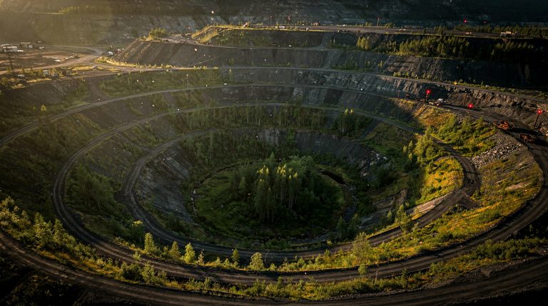
Environmental Impact and Sustainability
Preserving our planet: the environmental impact and sustainability benefits of mine digitisation.
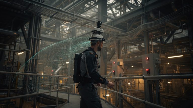
The Digital Revolution in Surveying
Delta Scan explores how digitisation is transforming surveying through drone technology and LiDAR, replacing traditional manual methods with faster, more accurate digital solutions.
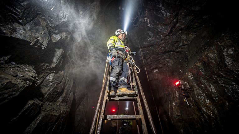
The Challenges of Traditional Mine Inspections
Traditional mine inspections face significant safety, time and cost obstacles. Discover how digital technologies are transforming mining operations for a safer future.
Want this applied to your asset?
Reading is the cheap part. Send the brief and our engineering team will tell you what the data can and cannot establish, within one business day.