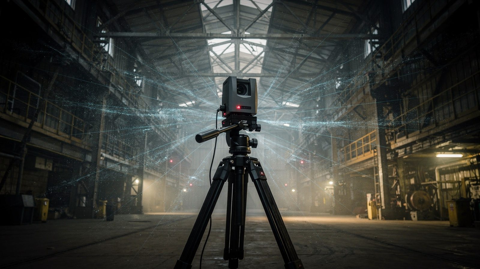
LiDAR, which stands for Light Detection and Ranging, is a remote sensing method using laser pulses to measure distances and create precise 3D maps. The technology comprises a laser scanner, GPS receiver, Inertial Measurement Unit (IMU) and data processor, mountable on drones, vehicles or tripods.
Why South Africa Needs LiDAR Scanning
South Africa's complex terrain, from mining regions to urban centres, demands accurate measurement capabilities. The technology supports infrastructure modernisation while reducing survey timelines and personnel safety risks compared with manual approaches.
Top Applications
LiDAR serves multiple sectors: structural inspections detect warping and deterioration in buildings and bridges; GIS integration supports urban planning; Scan to BIM modelling facilitates renovations; transport infrastructure benefits from early wear detection; and mining operations use the technology for stockpile calculations and slope monitoring.
Drone Surveying + LiDAR Integration
Combining drone technology with LiDAR enables rapid deployment across hundreds of hectares with centimetre-level accuracy, reaching areas unsafe for human access while gathering data efficiently.
Key Benefits
The technology delivers speed, achieving scans in hours rather than weeks; accuracy up to 2 cm; enhanced safety; comprehensive detail detection; all-weather versatility; and cost-efficiency through reduced site visits.