




Specialised Service

As-Built Surveys and Drawings in South Africa

A measured record of what is actually built, produced from laser scan and drone capture. Plans, sections, elevations and CAD drawings for buildings, plant and infrastructure where the original drawings are missing, outdated, or were never followed.

Trusted by
Sibanye-Stillwater Eskom Grindrod Debswana TotalEnergies

Almost every existing building and plant in South Africa has a drawing problem. The original set was lost in a move or an acquisition. It exists, but three decades of alterations were never recorded on it. Or it was drawn as designed and the contractor built something slightly different, which nobody documented. The result is the same: you are asked to design, price, refurbish, extend or certify an asset without a reliable record of what is there.

An as-built survey solves that by measuring the asset as it stands and issuing the record in the format your team actually works in. It is the difference between designing against an assumption and designing against a measurement.
When to use it

Typical engagements.

Each scenario below represents a real-world trigger for this service. If your situation matches one of these, get in touch.

No drawings, or drawings you cannot trust

The original set is missing, incomplete, or predates decades of undocumented alteration. Before any design or refurbishment work can be priced properly, somebody has to establish what is actually there.

Refurbishment, extension or retrofit

New work has to tie into existing structure, services and levels. Clashes discovered on site are expensive; clashes discovered against an accurate as-built are a design decision.

Handover, acquisition or lease

A measured record of the asset at a point in time, for a new owner, an incoming tenant, a facilities team, or a dispute about condition and extent at handover.

Compliance, insurance and asset registers

A dimensioned, dated record supporting insurance valuation, statutory submissions, fire and escape planning, or a maintainable asset register.

How it works

Our process.

A repeatable five-stage workflow. The same disciplined sequence runs whether the site is a 500-hectare mining operation or a single 60-metre bridge.

01

Scope and level of detail

We agree what must be captured, to what tolerance, and in what format before anyone mobilises. Capturing every service riser to millimetre accuracy is possible and rarely necessary; the scope should be driven by the decisions the drawings must support.

02

Control and georeferencing

Survey control is established with RTK GNSS or local control so the record is dimensionally consistent across the whole asset and can be tied to site coordinates rather than floating in isolation.

03

Capture

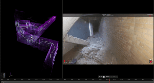
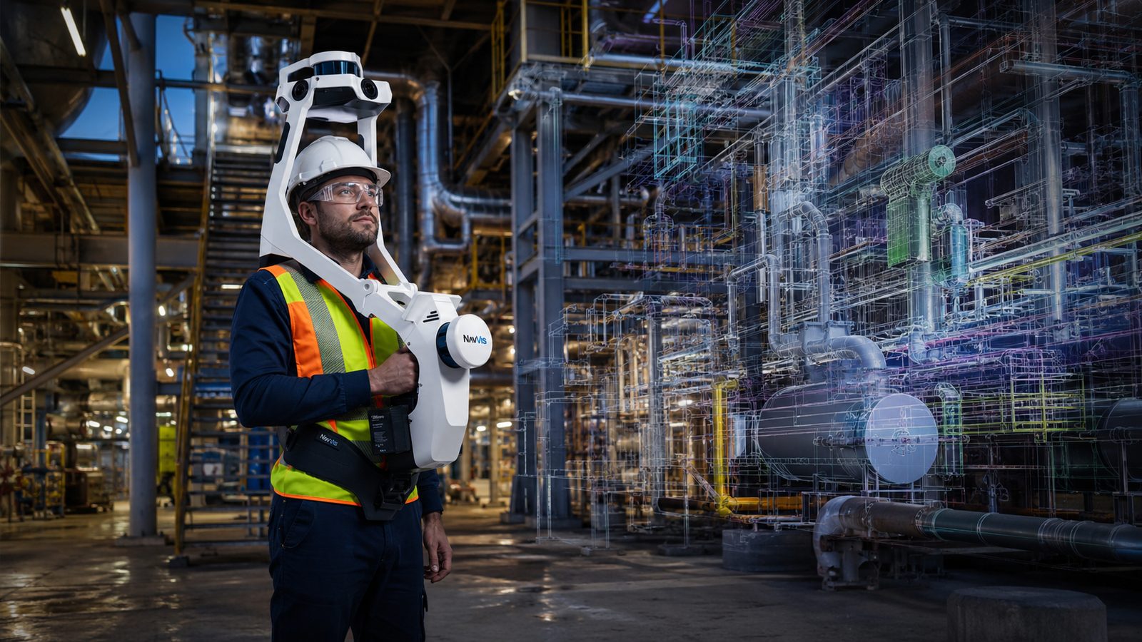
Mobile and handheld LiDAR for interiors, plant and circulation, with drone capture for roofs, facades and external works. Occupied and operating sites are captured without shutting down, and the whole asset is recorded rather than only the parts someone remembered to measure.

04

Registration and drawing production

Scans are registered into a single coordinated point cloud, from which plans, sections and elevations are drawn to the agreed level of detail. What you receive is drafted deliverables, not raw data with the drawing work left to you.

05

Issue and verification

Drawings are issued in DWG or DXF with the registered point cloud, so any dimension in the drawing can be checked back against the measured record. Delivered through DeltaCloud with full data provenance.

Request an as-built survey quote See scan to BIM
Equipment

What we use.

Calibrated, sector-matched hardware combined with proprietary software. The capture stack is selected for the asset, not the other way around.

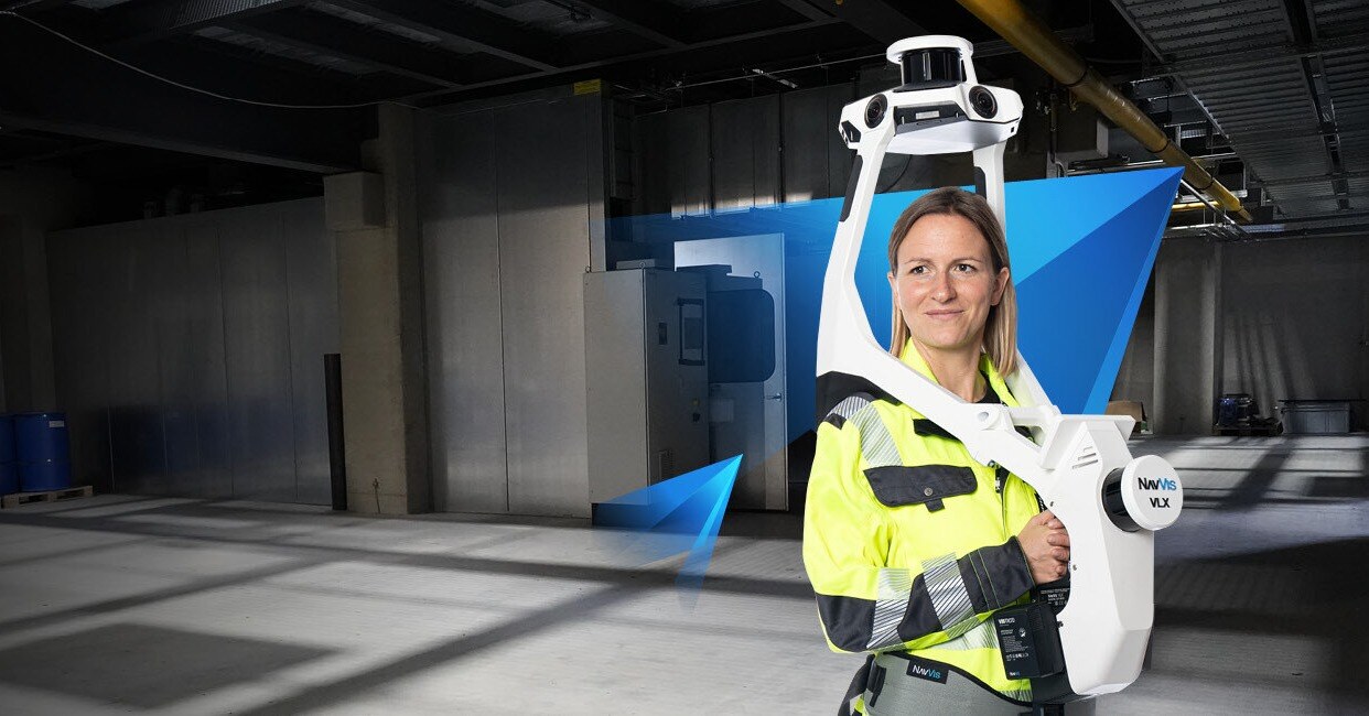
NavVis VLX 3

NavVis VLX 3

Wearable mobile SLAM scanner for fast, high-density capture of interiors, plant, and circulation space

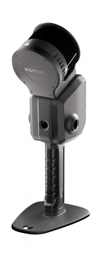
XGRIDS Lixel L2

XGRIDS Lixel L2

Handheld LiDAR combining SLAM point clouds with photoreal colour for rapid as-built capture

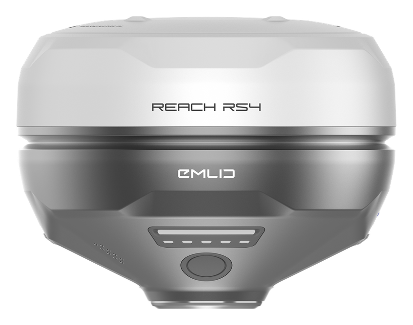
Emlid RS4

Emlid RS4

RTK GNSS receiver for survey control so the as-built record ties to real site coordinates

Sectors

Where this fits.

The same engineering discipline applies across Commercial and industrial property, Mining and heavy plant, Energy and process, Public and heritage buildings. The detail changes with the asset class and the operational context.

Commercial and industrial property

Office, retail, warehouse and factory as-builts for refurbishment, subdivision, lease plans, and facilities management

Mining and heavy plant

Plant as-builts for brownfield modification, shutdown planning, and tie-in design where the original drawings no longer reflect the plant

Energy and process

Existing-condition records of process areas, pipe racks and structures ahead of expansion or replacement projects

Public and heritage buildings

Measured drawings of existing fabric for restoration, compliance submissions, and long-term record keeping

FAQ

Frequent questions.

Direct answers to the questions clients ask most often before engaging.

What is the difference between an as-built survey and scan to BIM?

An as-built survey gives you the measured record: plans, sections, elevations and CAD drawings of what is physically there. Scan to BIM goes a step further and builds an intelligent 3D model where each element carries data. Many clients need only the drawings; others need the model as well. We scope which one the project actually requires rather than defaulting to the more expensive answer.

How accurate is an as-built survey?

Accuracy is agreed up front and stated on the deliverable. Laser scan capture supports tolerances well inside what construction and refurbishment design requires, but the useful question is what tolerance your decisions need. We set the level of detail and accuracy class to the purpose and record it on the drawings.

Can you survey an occupied or operating building?

Yes. Mobile and handheld scanning captures occupied offices, live plant and operating facilities without shutting them down, and typically without the disruption of traditional measured survey. Access arrangements and any restricted areas are agreed during scoping.

What formats do you deliver?

DWG and DXF drawings, the registered point cloud, and PDF drawing sets. Where a BIM model is required we deliver native Revit at an agreed LOD. Format requirements are confirmed at scoping so the output drops straight into your workflow.

How long does an as-built survey take?

Site capture is usually the fastest part, often a single day for a building of moderate size. Drawing production is the longer element and scales with the level of detail agreed. We give a programme at quotation stage rather than after mobilisation.

Related services

If this fits, these often do too.

Engineering programmes rarely run on a single service. These adjacent capabilities most often pair with the work above.

Accuracy & standards

Built to be signed, not just shared.

Pr EngECSA 202001436

Every engineering deliverable is reviewed and signed by Darryl Epstein, a registered Professional Engineer (Pr Eng, ECSA 202001436).

SAGIsurvey

Geospatial deliverables carry registered land-surveyor sign-off where accuracy must be certified.

Classstated

Every deliverable carries a stated survey accuracy class or BIM level of development (LOD), reported per engagement against check-point analysis.

Standardscited

Findings cross-referenced to the applicable codes (SANS, TMH, EN), with accuracy statements on every report.

Start here

Request an as-built survey quote

Send the brief and our engineering team will review your enquiry and reply within one business day. Prefer to talk first? Call or WhatsApp us below.

Response within 1 business day · Pr Eng or SAGI signed

Start a project Call