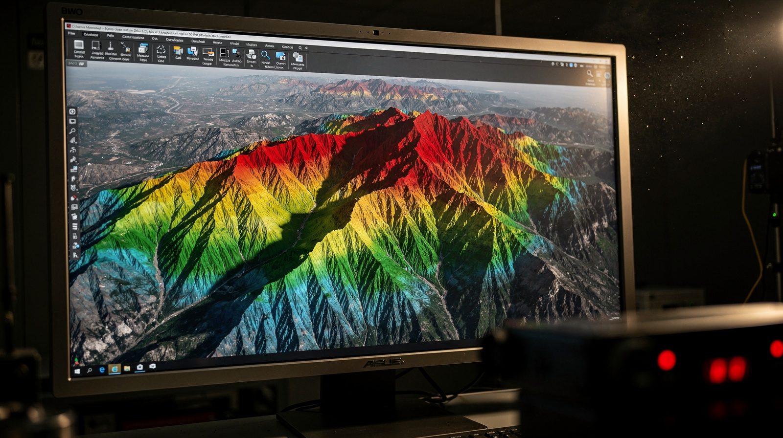
Understanding DTM and DEM
Digital Terrain Models represent the bare ground surface without overlaying features, while Digital Elevation Models include natural and man-made structures like buildings and vegetation. These complementary tools provide varying levels of topographical detail for different applications.
How Delta Scan's Approach Enhances DTM and DEM Creation
- LiDAR Technology: Laser pulse sensors generate dense point clouds capturing precise elevation data
- High-Resolution Imagery: Drone-based aerial platforms supply comprehensive visual information
- Advanced Software: Sophisticated processing tools ensure accuracy and precision
- Expert Team: Specialists manage ground control points and object removal for optimal results
Improved Land Analysis
Enhanced models serve multiple industries including construction, natural resource management, environmental studies and urban planning, providing accurate topographical foundations for informed decision-making.