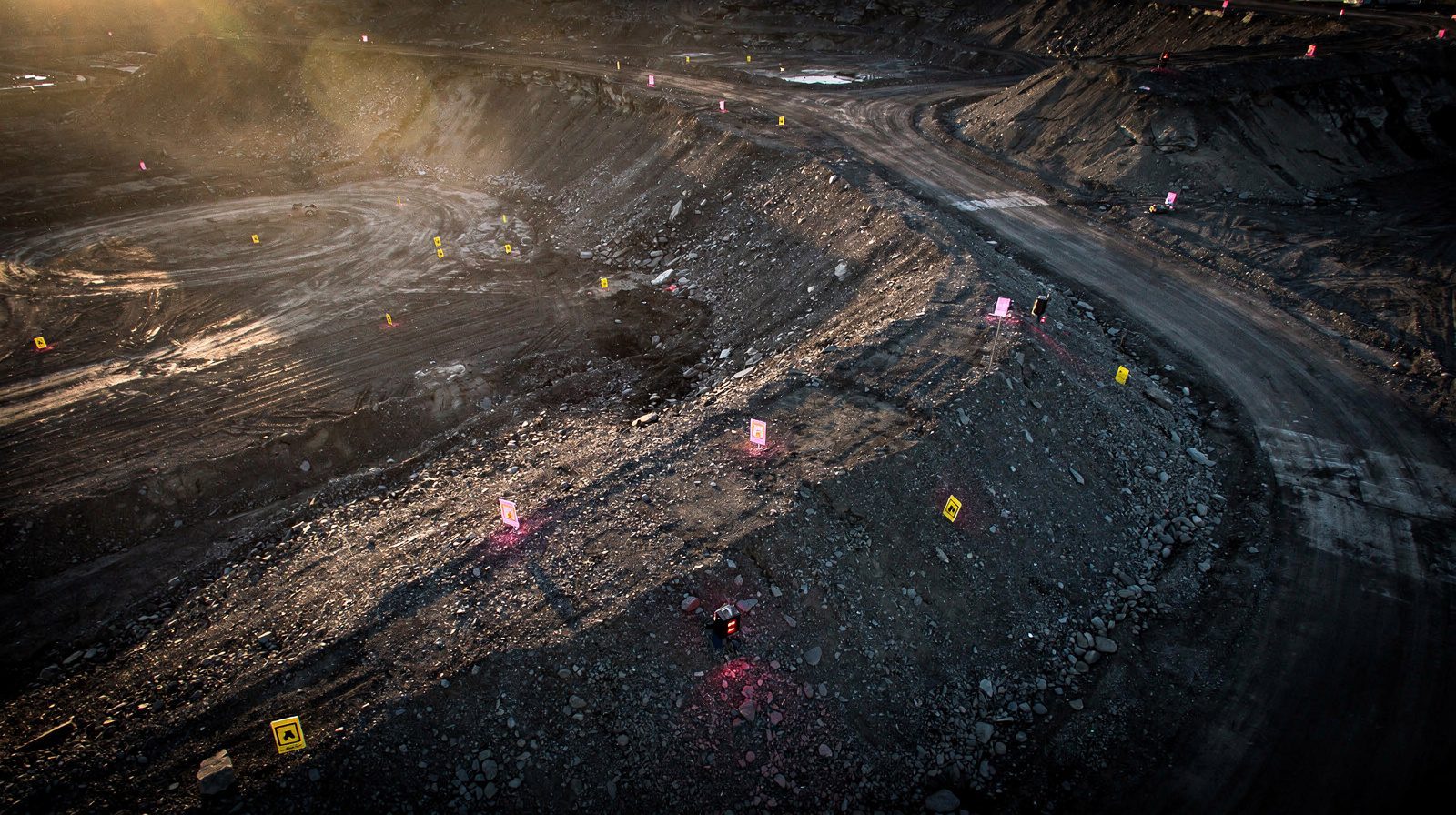
Drone photogrammetry represents a transformative shift in surveying and geospatial data collection. The technology merges unmanned aerial vehicles with photogrammetry, the practice of extracting precise measurements from photographs, to generate detailed 3D models and maps.
The operational process involves mounting high-resolution cameras on drones, which capture overlapping images from multiple angles across surveyed areas. Specialist software then processes these images to construct comprehensive site representations with precise measurements.
Key Advantages Over Traditional Methods
- Speed and Efficiency: Drone surveys cover expansive areas significantly faster than conventional manual measurement
- Accuracy: High-resolution imagery produces exceptionally precise data when properly processed
- Safety: Eliminates physical risks by removing surveyors from hazardous environments and challenging terrains
- Cost-Effectiveness: Expedited data collection reduces both time requirements and labour expense
- Remote Access: Enables assessment of inaccessible locations for environmental monitoring and disaster evaluation
Challenges Addressed
Traditional surveying methods suffer from time consumption, human error, safety hazards and environmental disruption. Drone photogrammetry directly counteracts these limitations through its speed, precision, reduced environmental impact and enhanced worker safety.