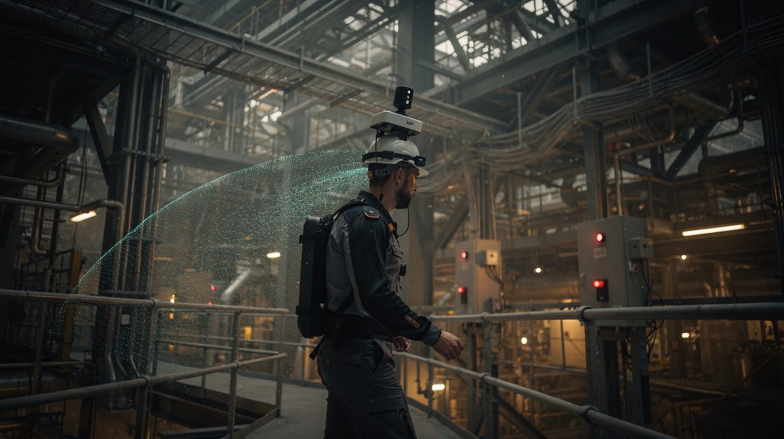
Modern surveying is undergoing significant transformation through digitisation, moving away from labour-intensive manual fieldwork toward technology-driven solutions. Delta Scan leads this evolution by leveraging drone photogrammetry and aerial LiDAR to capture comprehensive site data.
The Role of Digitisation in Modern Surveying
Traditional surveying involved extensive manual measurements and time-consuming data interpretation. Digitisation enables surveyors to create accurate 3D digital twins that serve as virtual replicas of the surveyed area. These virtual models allow professionals to analyse data remotely, streamlining operations while improving precision and cost-effectiveness.
Pain Points in Traditional Surveying
Conventional methods face persistent challenges including time-consuming fieldwork in difficult conditions, measurement inaccuracies leading to costly revisions, safety risks for workers, overwhelming data management complexities and environmental degradation from intensive field operations.
Delta Scan addresses these obstacles through advanced drone and LiDAR technology, delivering safer, more accurate and environmentally sustainable surveying for construction, mining, agriculture and urban planning.