Understanding Aerial LiDAR
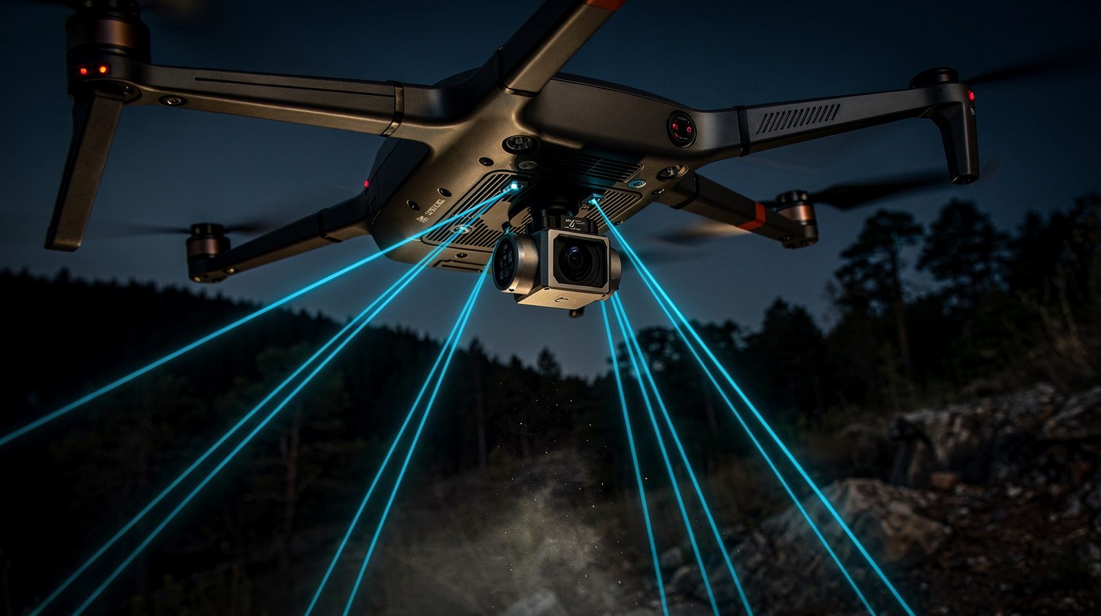
Aerial LiDAR uses laser beams to measure distances between sensors and the earth's surface. The system emits laser pulses and measures the time for reflected light to return, creating a detailed, three-dimensional point cloud of the surveyed area.
Benefits in Surveying and Site Digitisation
- Accuracy: Renowned for pinpoint precision critical in engineering and construction
- Speed: Covers extensive areas significantly faster than traditional methods
- Versatility: Functions across diverse terrains, from forests to urban environments
- Detail: High-density point clouds enable intricate mapping and analysis
- Safety: Reduces fieldwork exposure to hazardous conditions
Enhancing Data Accuracy and Detail
The technology empowers surveyors to create highly accurate 3D models of the surveyed area, enabling superior land-use planning, environmental monitoring and infrastructure development.