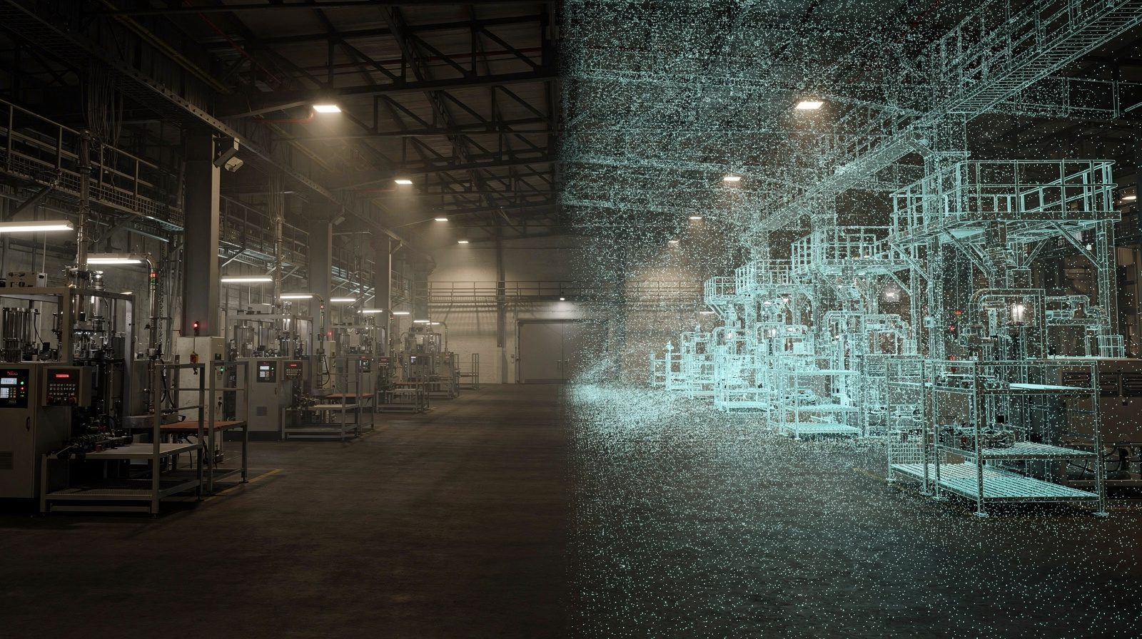
3D digital twins are virtual replicas of physical objects, sites or entire cities created through LiDAR scanning, drone photogrammetry and specialist software. These dynamic models capture precise data from the real world and transform it into highly detailed, interactive digital representations.
The technology demonstrates remarkable versatility across multiple sectors. Urban planners use digital twins to model future development and assess infrastructure impacts. Construction firms leverage them to enhance project planning, monitor progress and address potential issues proactively. Environmental researchers employ the technology to simulate ecosystems and study climate effects, while manufacturers use it for product design and prototyping. Agriculture benefits through precision crop management, and healthcare applications include patient-specific treatment and surgical planning.
The future trajectory of 3D digital twins in surveying is exceptionally promising. Real-time data integration enables immediate responses to environmental changes, whether for disaster management or resource allocation. Artificial intelligence integration will enhance analytical and predictive capabilities. Cross-industry collaboration becomes streamlined through shared digital models, while sustainability applications support eco-conscious resource management and infrastructure design.