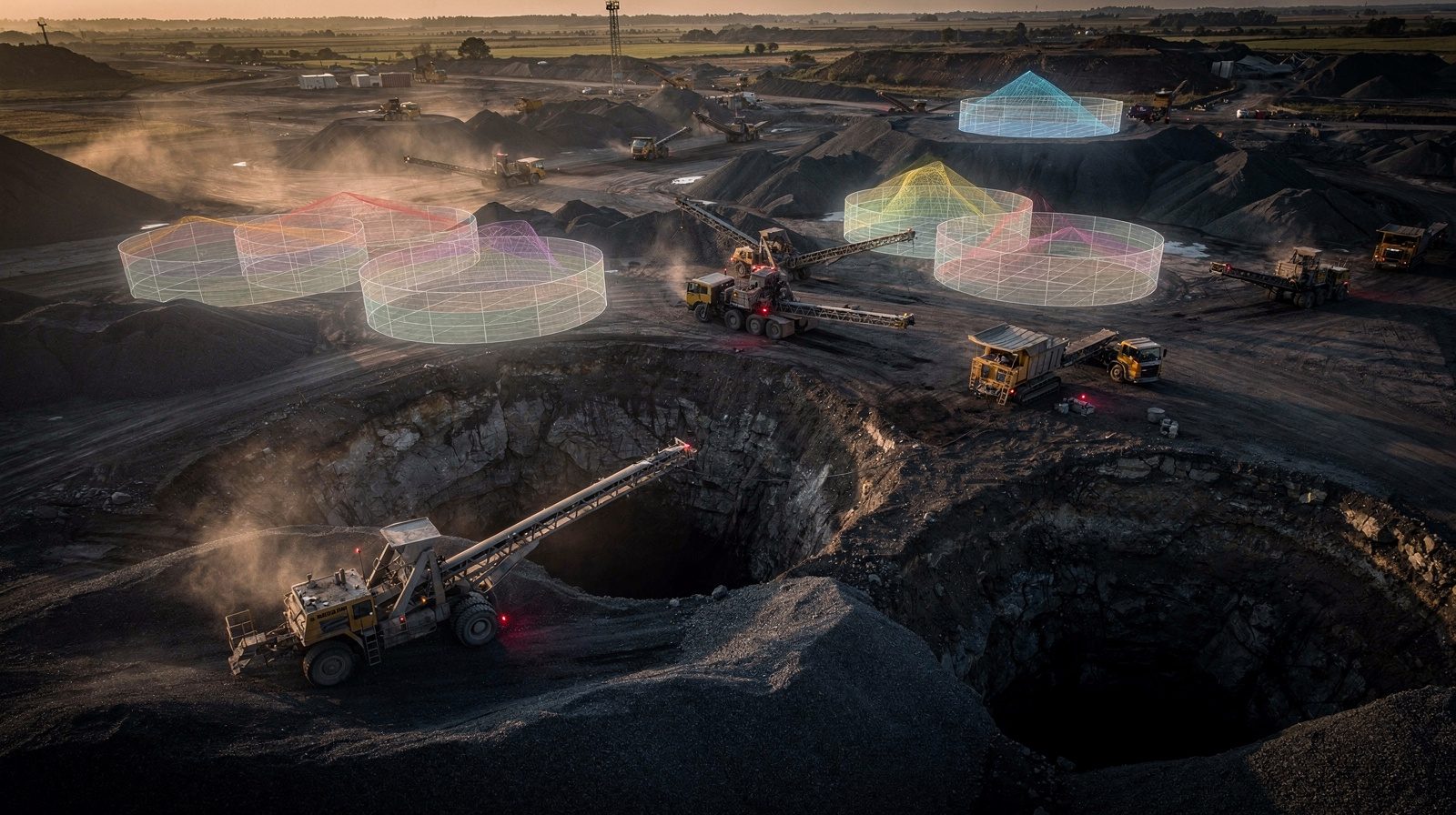
Volumetric calculations form the backbone of effective site development, whether for construction, mining or land management. Delta Scan identifies five critical reasons these measurements matter: they enable accurate project planning, facilitate optimal resource management, support environmental compliance, inform cost estimation and maintain quality control standards.
The methodology leverages LiDAR technology paired with aerial imaging to capture detailed three-dimensional site data. This information feeds into sophisticated software systems that generate high-resolution models and perform rapid volumetric computations. A key advantage involves real-time data updates, allowing projects to adapt seamlessly to evolving conditions.
The practical benefits of precise volumetric analysis are substantial. Organisations can eliminate over-excavation inefficiencies, prevent resource waste and avoid expensive project delays. Quicker decision-making becomes possible through accurate, current information. Beyond financial gains, precise measurements support environmental stewardship by minimising waste and ensuring regulatory adherence.
Delta Scan emphasises that accurate volumetric data remains pivotal, shaping the success and sustainability of projects as the industry advances. Combining precision technology with practical application delivers meaningful cost reductions, accelerated timelines and responsible development practices.