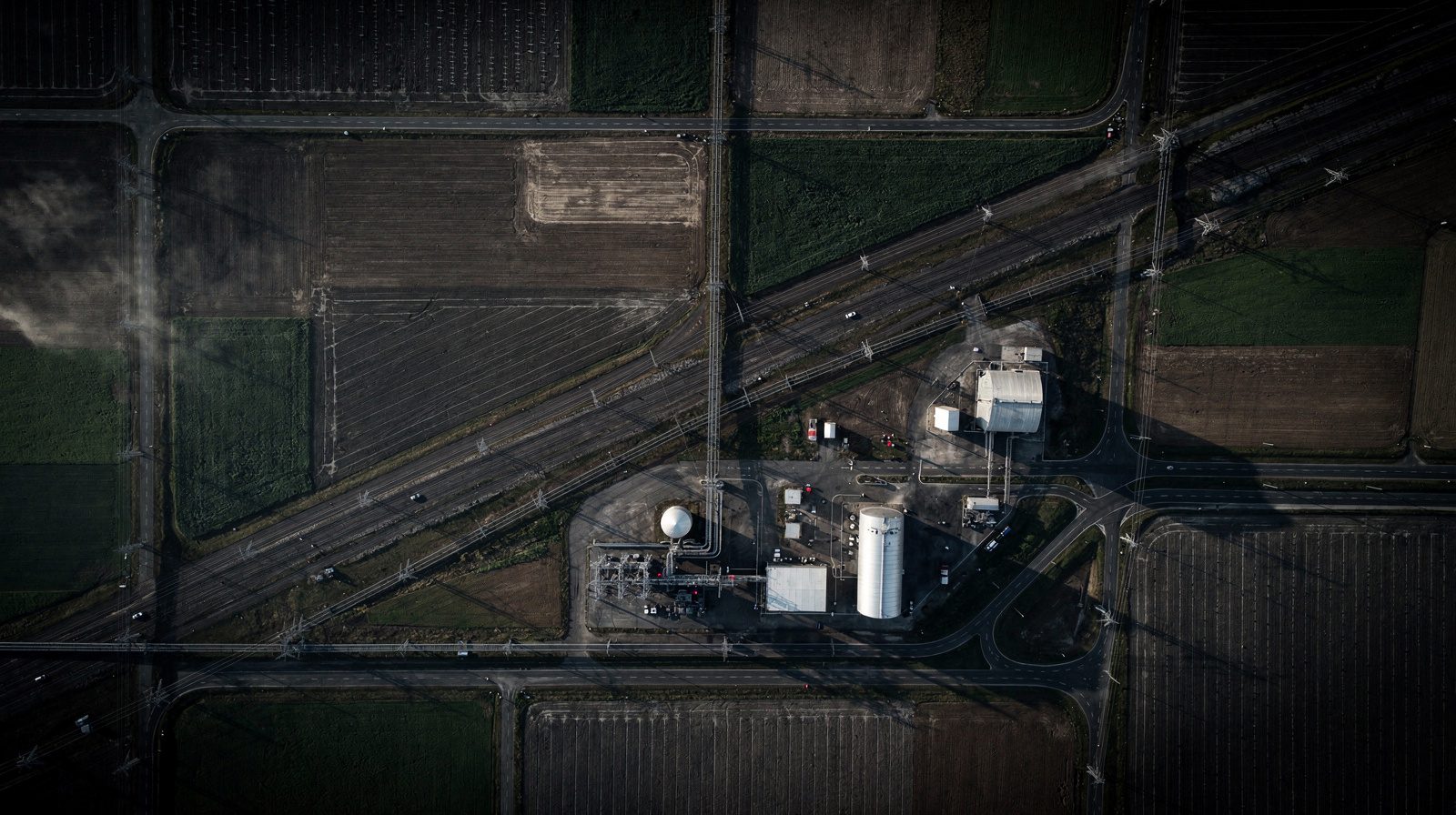
Demystifying Orthophotos
Orthophotos, short for orthophotographs or orthoimages, are essentially geometrically corrected aerial photographs. Unlike conventional images with inherent distortions, these precision-processed images eliminate inaccuracies from camera angles, terrain variations and the Earth's curvature, functioning as highly accurate digital representations comparable to satellite imagery but with superior precision.
Generation Through Digitisation
The orthophoto creation workflow involves several technical stages: aerial imaging using drones or aircraft captures expansive landscape detail; geometric correction software removes distortions through sophisticated cartographic techniques; individual corrected images merge into seamless mosaics; and orthorectification transforms imagery into standardised map projections, enabling precise measurements.
Applications Across Industries
These distortion-free images deliver substantial value across multiple sectors. Urban planners leverage them for infrastructure assessment and development evaluation. Agricultural professionals use them for crop monitoring, pest management and yield optimisation. Environmental researchers track ecosystem changes and habitat conditions. Infrastructure departments identify maintenance requirements, while emergency response teams assess disaster damage and coordinate recovery efforts.
The technology fundamentally transforms professional analysis workflows by delivering high-resolution, spatially accurate visual data supporting informed decision-making across surveying, planning and environmental management.