The Importance of Contour Maps
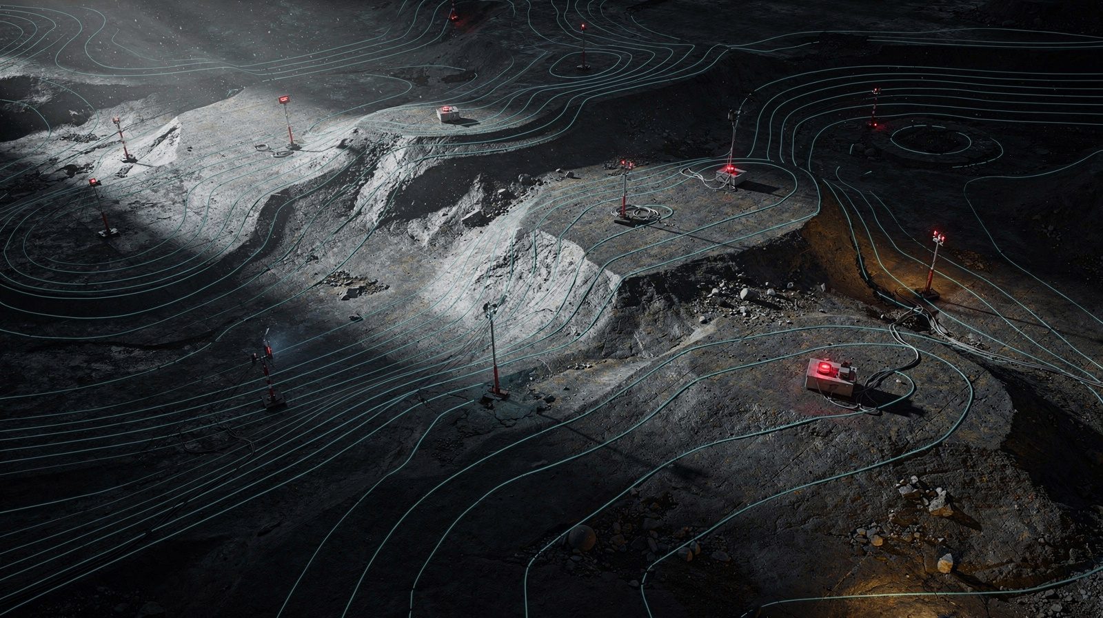
Contour maps, commonly called topographic maps, represent terrain elevation through visual lines. They serve three critical functions in surveying:
- Visualising Topography: These maps present the Earth's three-dimensional surface in an intuitive format, enabling surveyors and engineers to comprehend elevation variations and landscape characteristics
- Precision and Detail: They deliver accurate elevation data and landform information, supporting thorough site analysis
- Decision Support: Contour maps guide infrastructure design, construction planning and resource stewardship
How Digitisation Aids Contour Map Generation
- Advanced Surveying Technology: LiDAR and aerial photogrammetry collect elevation information with exceptional precision
- Digital Data Processing: Software converts elevation data into digital formats, streamlining generation and ensuring map detail and accuracy
- Rapid Data Integration: Digital elevation information integrates seamlessly into GIS platforms, enabling real-time updates
- Enhanced Accessibility: Digitised maps are conveniently available through online platforms for professional review and manipulation
Implications for Design and Engineering
- Infrastructure Design: Engineers use these maps to optimise road, bridge and facility placement
- Grading and Earthwork: Maps facilitate efficient earthwork management while maintaining design compliance
- Environmental Impact Assessment: Critical for evaluating project effects on ecosystems, hydrology and soil stability
- Resource Management: Essential for foresters, miners and developers pursuing sustainable land use