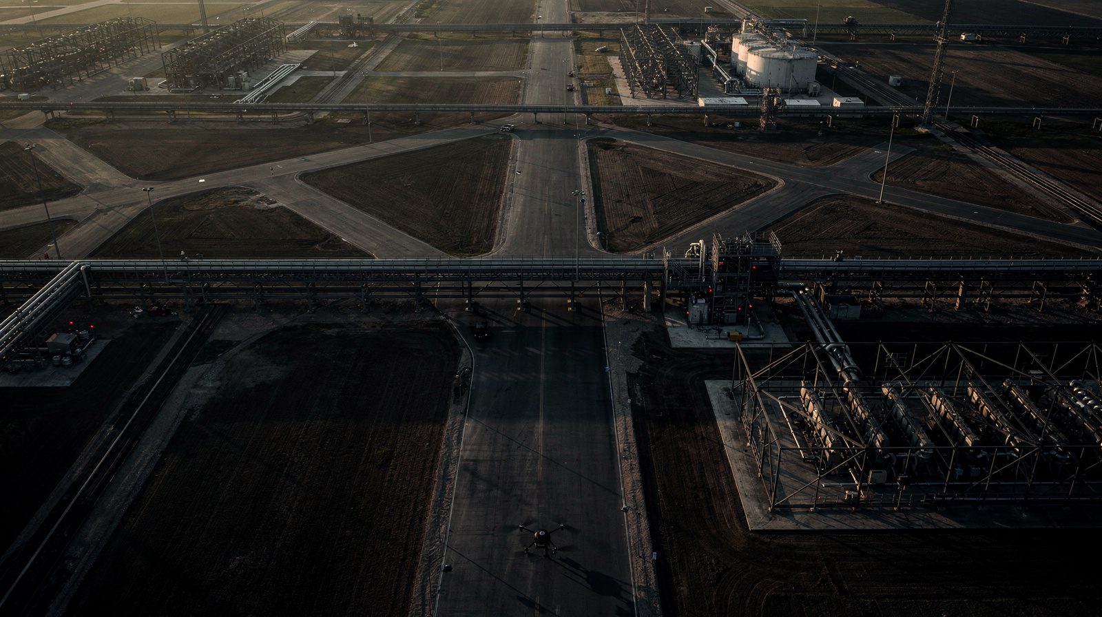
Building smarter infrastructure with smart data
In today's fast-paced world, infrastructure development demands not just efficiency, but also intelligence. As cities expand and the need for resilient infrastructure grows, traditional methods of surveying and planning have become too slow, too expensive, and too error-prone.
GIS and drone surveying are a powerful technological duo that revolutionises how infrastructure projects are conceived, executed, and maintained. At Delta Scan, these cutting-edge solutions are integrated to deliver faster, smarter, and more sustainable outcomes.
What is drone surveying?
Drone surveying refers to the use of unmanned aerial vehicles (UAVs) equipped with specialised sensors like LiDAR, photogrammetry cameras, and thermal imaging to collect accurate, high-resolution spatial data over large areas.
Key benefits
- Speed: cover hundreds of hectares in hours rather than days
- Precision: capture detailed topography with centimetre-level accuracy
- Safety: survey dangerous or inaccessible areas without risking lives
- Cost-effectiveness: reduce manpower, time, and expensive field equipment needs
What is GIS and why does it matter?
Geographic Information Systems organise, analyse, and visualise spatial data in ways that uncover relationships, patterns, and trends. When paired with drone surveying, GIS can analyse terrain for optimal construction planning, overlay environmental data, track construction progress in real time, and facilitate predictive maintenance for infrastructure assets.
GIS is not just about maps. It is about intelligent decision-making rooted in spatial reality.
How drone surveying and GIS work together
Step 1: Data capture via drone surveying
Delta Scan drone surveyors conduct flights to gather aerial imagery, LiDAR data, and multispectral information across the project site.
Step 2: Data processing
Collected data is processed into high-resolution orthomosaics, digital surface models, and 3D point clouds.
Step 3: GIS integration
Processed datasets are imported into GIS platforms where layers can be analysed, compared, and used to generate actionable insights.
Step 4: Decision-making and implementation
Stakeholders use the GIS dashboard to make data-driven decisions on design, construction, environmental compliance, and maintenance.
Applications
Roads and highways
- Route optimisation based on real-world terrain analysis
- Erosion monitoring to prevent landslides and water damage
- Construction monitoring to ensure adherence to design specifications
Railway infrastructure
- Track alignment surveys to identify obstacles and optimise paths
- Vegetation encroachment detection for safer rail operations
- Bridge condition assessments without interrupting service
Urban development
- Smart city planning through multi-layered spatial analysis
- Utility mapping for underground infrastructure
- Flood risk assessment for sustainable drainage solutions
Energy projects
- Pipeline route planning minimising environmental disruption
- Wind farm site selection based on topographic and meteorological data
- Solar farm assessments using terrain modelling
The role of engineering condition assessments
Infrastructure does not end with construction. Ongoing engineering condition assessments are vital for asset management. Delta Scan uses drone surveying combined with GIS to inspect bridges, tunnels, and roads without disrupting traffic; detect structural deterioration before it becomes critical; and prioritise repairs based on spatially analysed risk factors.
Future trends
- Real-time GIS: streaming drone data directly into dashboards during construction
- AI-powered predictive analytics: machine learning to predict future maintenance needs
- Digital twins: living replicas of infrastructure that update in real time
- Mobile GIS: site engineers connected to central systems for immediate decision-making
Conclusion
Infrastructure is the backbone of society. Ensuring it is well-planned, cost-effective, sustainable, and resilient is non-negotiable. With GIS and drone surveying, organisations can move beyond guesswork into a world of precision, speed, and strategic advantage.