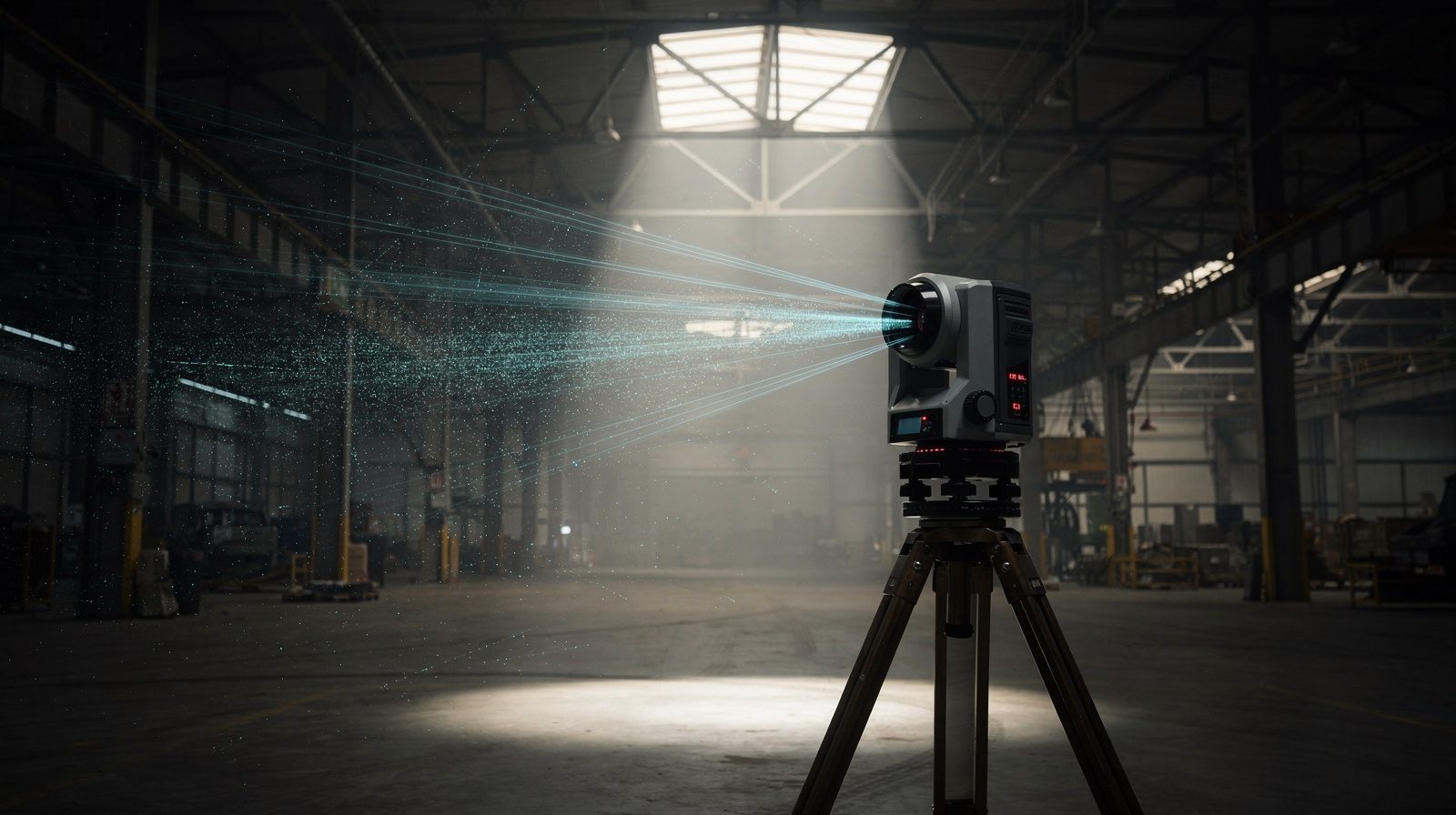
What is Terrestrial LiDAR?
Terrestrial LiDAR is a remote sensing approach that uses laser pulses to measure distances and create detailed, high-precision 3D representations of objects and environments. In mining applications, laser scanners capture millions of data points per second to produce exceptionally accurate three-dimensional models.
Applications in Mining
- Topographical Mapping: Generates detailed site maps for planning and design
- Volumetric Calculations: Accurately measures stockpile and excavation volumes for inventory management
- Slope Stability Analysis: Monitors terrain changes to assess stability risks
- Tunnel and Underground Mapping: Creates precise 3D underground models for exploration and maintenance
- Environmental Monitoring: Tracks vegetation, water bodies and land use changes for compliance
Precision and Accuracy of LiDAR Data
The technology achieves millimetre-level precision through dense point cloud capture, enabling high-quality downstream analysis for engineering decision-making.
Complementing Drone Photogrammetry
Terrestrial LiDAR and drone photogrammetry produce synergistic results, combining aerial imagery with ground-level perspectives to capture comprehensive mining site data while enhancing model precision and personnel safety.