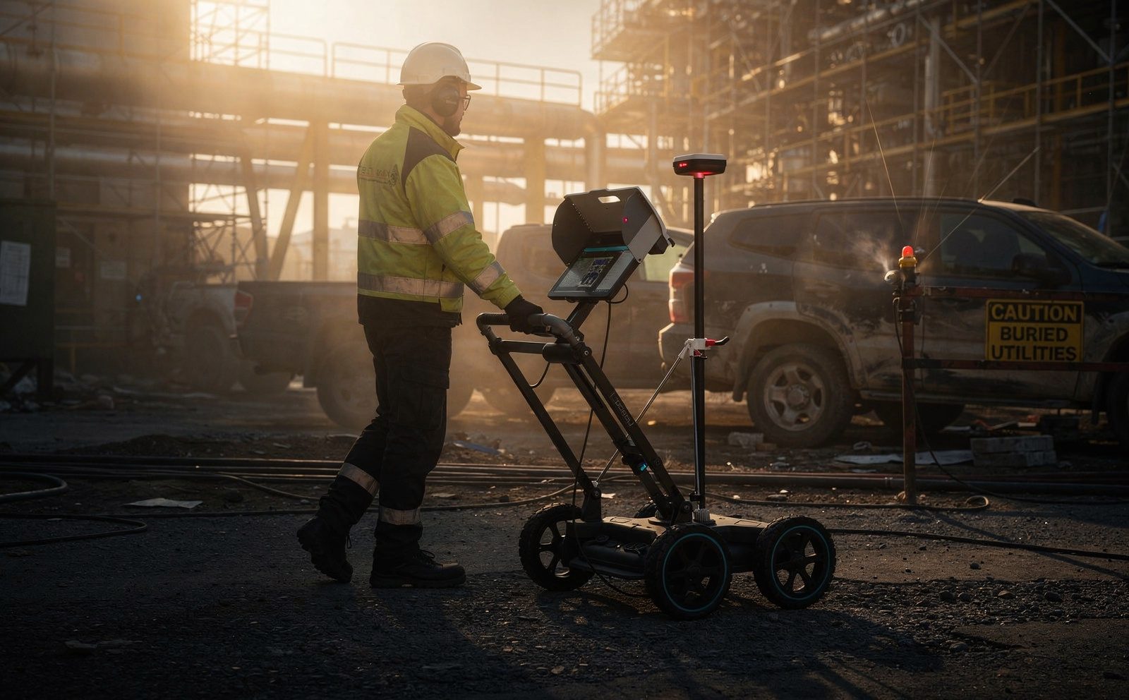
The most expensive metre of any excavation is the one that hits something. A struck water main floods the works. A struck fibre run takes out a client's network and arrives as a claim. A struck medium-voltage cable can kill the operator. Every one of those outcomes is a due diligence question asked too late, and in almost every case the site team believed it knew what was down there.
So the practical question before you break ground is not whether to check, but how. In South Africa the two common answers are trial holes and ground penetrating radar. They are not competing products. They answer different questions, and the sensible approach usually uses both.
Why the as-built drawing is not enough
Buried service records are frequently wrong, and rarely for careless reasons. Services get diverted during construction and the change never reaches the drawing. Later work adds a run nobody records. Municipal boundaries shift, sites change hands, and the drawing set is reassembled from several eras. On older industrial and mining sites you are often working from a record that documents intent rather than what the contractor actually laid.
Treat the drawing as a hypothesis. It tells you what to look for and roughly where. It is not evidence of what is there.
What trial holes actually prove
A trial hole, whether hand-dug or vacuum excavated, gives you certainty at one location. You see the service, its depth, its diameter and its condition. Nothing else on this list gives you that quality of confirmation.
The limitation is equally clear: it proves that point and no other. A service can turn, rise, branch or drop between one hole and the next. Establishing a corridor by trial hole alone means digging repeatedly, which is slow, disruptive, expensive in a live plant, and introduces the very risk you are trying to avoid. Trial holes are a verification tool, not a search tool.
What ground penetrating radar does
GPR transmits pulses into the ground and records what reflects back from boundaries between materials. Where a buried object differs enough from the surrounding soil, it produces a signature the operator can identify and position. Because nothing is opened, a survey can cover a corridor rather than a point, and it can be done across a live yard, a road or a slab without shutting anything down.
Its useful property is that it does not depend on the target being conductive. Electromagnetic location, the other core technique, works by detecting or tracing a signal on a conductive service, so it is strong on metallic pipes and cables and blind to plastic water pipe, clay drainage, or an empty duct. GPR responds to contrast rather than conductivity, which is why it is the method that finds the non-metallic runs an electromagnetic sweep misses. The two are complements, not alternatives, and a serious utility survey uses both.
Cable tracing and live cable detection
Electromagnetic work divides into two modes, and the distinction matters on site.
Live detection listens passively for the electromagnetic field radiated by an energised cable. It is the first thing that should happen before anyone breaks ground, because it answers the question that carries the highest consequence: is there something live in this excavation. It finds energised power cables without any need to access, connect to or identify them first.
Active tracing applies a signal to a specific service, either by direct connection or by induction, and follows that signal along its route. This is what lets you distinguish one service from its neighbours and trace where a particular run actually goes, rather than knowing only that something conductive is present.
Together they cover the gap live detection alone leaves. A passive sweep will not see an unenergised cable, a spare duct or a dead run, and a site that has only been swept passively is not clear. Combining passive detection, active tracing and radar is what turns a set of separate indications into a survey you can plan an excavation against.
Where GPR struggles, stated honestly
Any provider who tells you radar finds everything is overselling it. The real constraints are:
- Ground conditions. Wet clay and highly conductive soils absorb the signal and reduce useful depth, sometimes severely. Dry sand and well-drained fill are far more cooperative.
- The depth and resolution trade-off. Lower frequencies reach deeper but resolve less detail; higher frequencies resolve fine detail but do not travel as far. One antenna choice cannot be optimal for a shallow conduit and a deep main at the same time.
- Congestion. Where many services run close together, or a dense reinforcement mat sits above them, shallower targets can mask deeper ones.
- Interpretation. Radar returns a reflection, not a label. Identifying what a signature represents is an interpretive act, and it depends on the operator's experience and on corroborating information.
None of that makes radar unreliable. It makes it a survey method with a stated confidence, which is exactly how it should be reported.
The sequence that actually works
On most sites the efficient order is layered, each step narrowing the uncertainty for the next:
| Step | What it contributes | What it cannot do |
|---|---|---|
| Records and desktop review | Tells you what services should be present and who owns them | Prove that any of it is accurate |
| Live cable detection | Finds energised power cables before anything is opened | See dead cables, spare ducts or unenergised runs |
| Active cable tracing | Follows one identified service along its route | Trace non-conductive services |
| Ground penetrating radar | Covers a corridor, finds non-metallic targets, gives indicative depth | Guarantee identification, or see through saturated clay |
| Targeted trial holes | Absolute confirmation of service, depth and condition at a point | Say anything about the metre either side |
The point of the sequence is that each step reduces the number of holes you need. The survey is not an alternative to excavation. It tells you where excavating is safe and where it is not, and it turns a broad risk into a small number of verified points.
What a usable utility survey deliverable contains
A survey you can build from should give you, at a minimum: a georeferenced plan of detected services in a format your design team can actually use, indicative depths with the method of measurement stated, an honest confidence level for each detection, a clear statement of what was surveyed and what was not, and any area where conditions limited the result. That last item is the one most often left out and the one most worth having, because an area the radar could not read reliably is precisely where you should not put a machine.
If the deliverable is a photograph of paint marks on the ground, you have bought a morning of someone's time rather than a record you can design against, hand to a contractor, or produce afterwards if a strike is disputed.
The commercial case, briefly
Weigh the cost of a survey against the cost of a strike and the arithmetic is rarely close. A strike is not only the repair. It is standing time for the crew and plant, a possible third-party claim, an incident investigation, reputational damage with the asset owner, and in the worst case an injury. Set against that, a scan of the excavation corridor is a modest and predictable line item.
How Delta Scan approaches it
Delta Scan runs both halves of this work: ground penetrating radar for utility location, void detection and rebar scanning, and cable tracing with live cable detection for energised and traceable services. Combining the two is what allows a corridor to be cleared rather than sampled, and the result is delivered as a georeferenced record rather than a set of marks on the ground. Where the question extends past locating services, the same subsurface work feeds concrete scanning before cutting and coring, and non-destructive testing on structures. Findings are reviewed and signed by a registered Professional Engineer, Darryl Epstein, Pr Eng, ECSA 202001436.
If you have an excavation planned and a drawing set you are not confident in, a GPR survey of the corridor is the cheapest certainty available before the machine arrives.